T.I.C.D.: Intro to the Eastern Gulf of Thailand
Terrific islands, conical mountains and rich history in a region that is often forgotten.
Welcome to the Thai Island & Coastal Directory from Thai Island Quest. One of these introductory sections marks the entrance to each of the seven chapters devoted to sub-regions of coastal Thailand. We’ll get into the real meat of the directory later this week, and next, with three monster sections each covering one province.
The entire Eastern Gulf chapter — including all four sections — will be accessible to both free and paying subscribers. Free subscribers who would like to access the directory beyond this chapter can upgrade below for $5 / month.
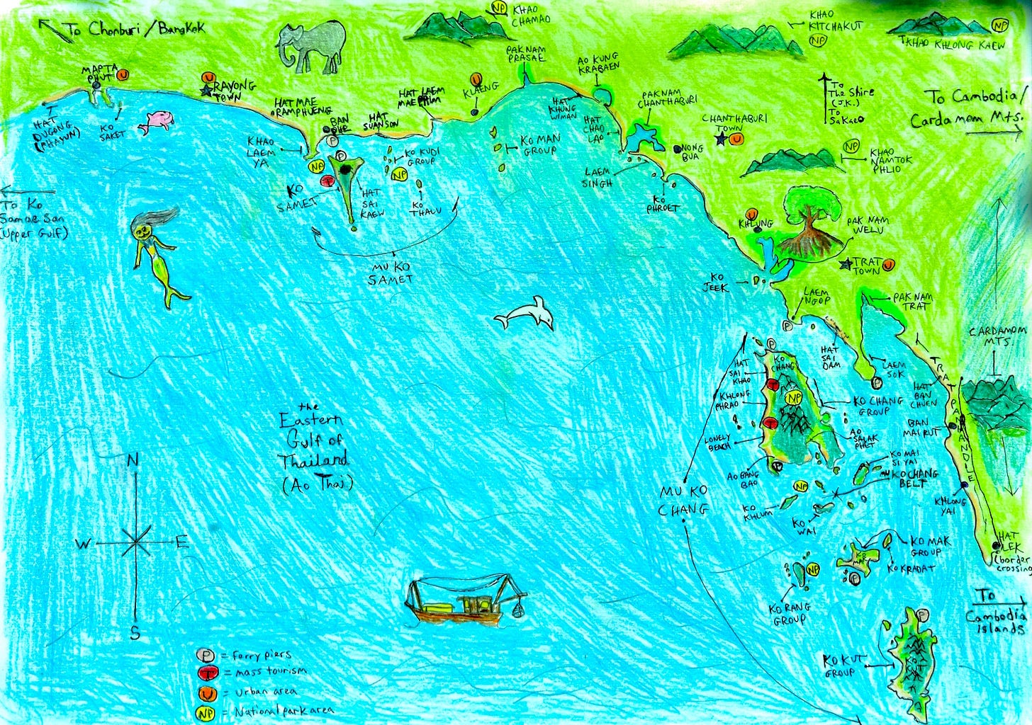
Stretching between Cambodia in the east and the Bay of Bangkok to the west, Thailand’s Eastern Gulf coastal zone includes the provinces of Trat, Chanthaburi, and Rayong. Mu Ko Chang and Mu Ko Samet are its primary archipelagos. It contains at least 93 islands and 19 notable mainland areas, and, in both size and popularity, it ranks in the middle among Thailand's seven coastal zones.
Eastern Gulf: the TIQ take
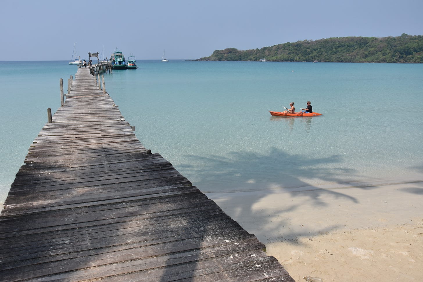
I’ve long been a fan of the Eastern Gulf for its wide variety of places to explore, including some islands in Mu Ko Chang that I’d certainly put in the “most beautiful islands in Thailand” conversation. Winking at you, Ko Kut and Ko Rang.
Ko Chang, despite its heavy development in places, remains a personal favorite of mine for its dramatic mountains, scenic bays and notably chill-worthy spots like Ao Salak Phet and Hat Khlong Kloi. And if Ko Chang is too big for some, mid-size Ko Mak sits nearby with its own relaxing, alternative island vibe.
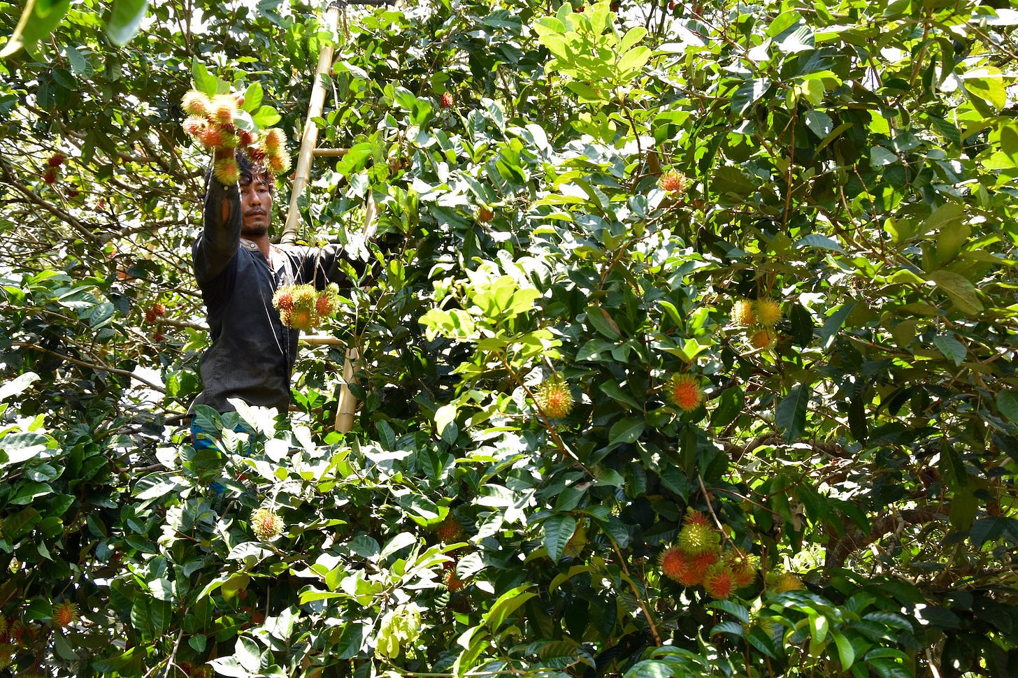
Chanthaburi, which is popular among Thai travelers but almost completely ignored by foreigners, happens to be one of my favorite provinces for travel anywhere in Thailand. I adore its rolling fruit groves, its quaint old town, its waterfall-streaked mountains and, above all, its sedate coastline full of beaches, estuaries, oyster farms and minor islands that get few visits from travelers.
Weather and crowds
December through April is dry season and high tourism season in the Eastern Gulf.
Flooding sometimes occurs between July and October, especially in parts of Ko Chang and the Trat provincial mainland.
Parts of Ko Chang and Ko Samet both get packed around Thai holidays.
Tourism
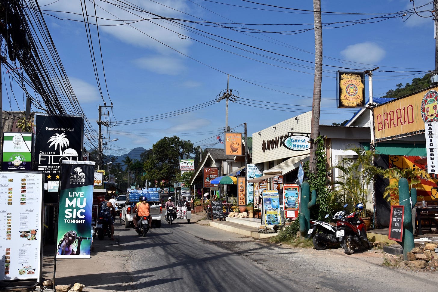
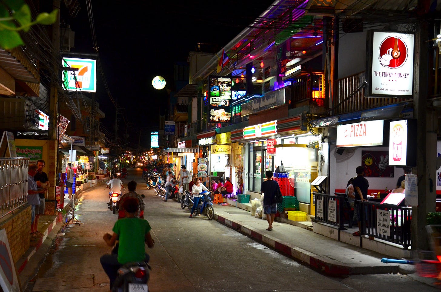
The Eastern Gulf has two mass tourism areas: Ko Chang (condensed on the west coast), and Ko Samet (condensed in the north).
The Eastern Gulf also also has eight mid-level tourism areas: Ko Kut, Ko Mak, Trat town, Chanthaburi town, Hat Chao Lao, Laem Mae Phim, Ban Phe, and Rayong town. Beaches on some national park islands, such as Ko Rang and Ko Thalu, draw their share of day tours, while Ko Wai draws day tours in addition to a handful of overnight guests during dry season. On the mainland, Namtok Phlio, a waterfall in the eponymous national park, is also popular for day visits.
Infrastructure and development
Parts of western Rayong province fall into what might be termed the outer rim of the Bangkok universe, meaning it sits at the tail end of an almost uninterrupted string of urban development that extends up into Chonburi and on to the Thai capital. Apart from that, most of the Eastern Gulf coast is sleepy and serene.
Large resorts are packed in tightly along Hat Sai Kaew on Ko Samet and Hat Sai Khao on Ko Chang, two of the first beaches in the Eastern Gulf to see serious tourism development back in the 1980s. Later, in a wave of construction that aimed to meet the demands of rising tourist arrivals in the years leading up to the Covid pandemic, some new large resorts were added to other parts of Ko Chang as well.
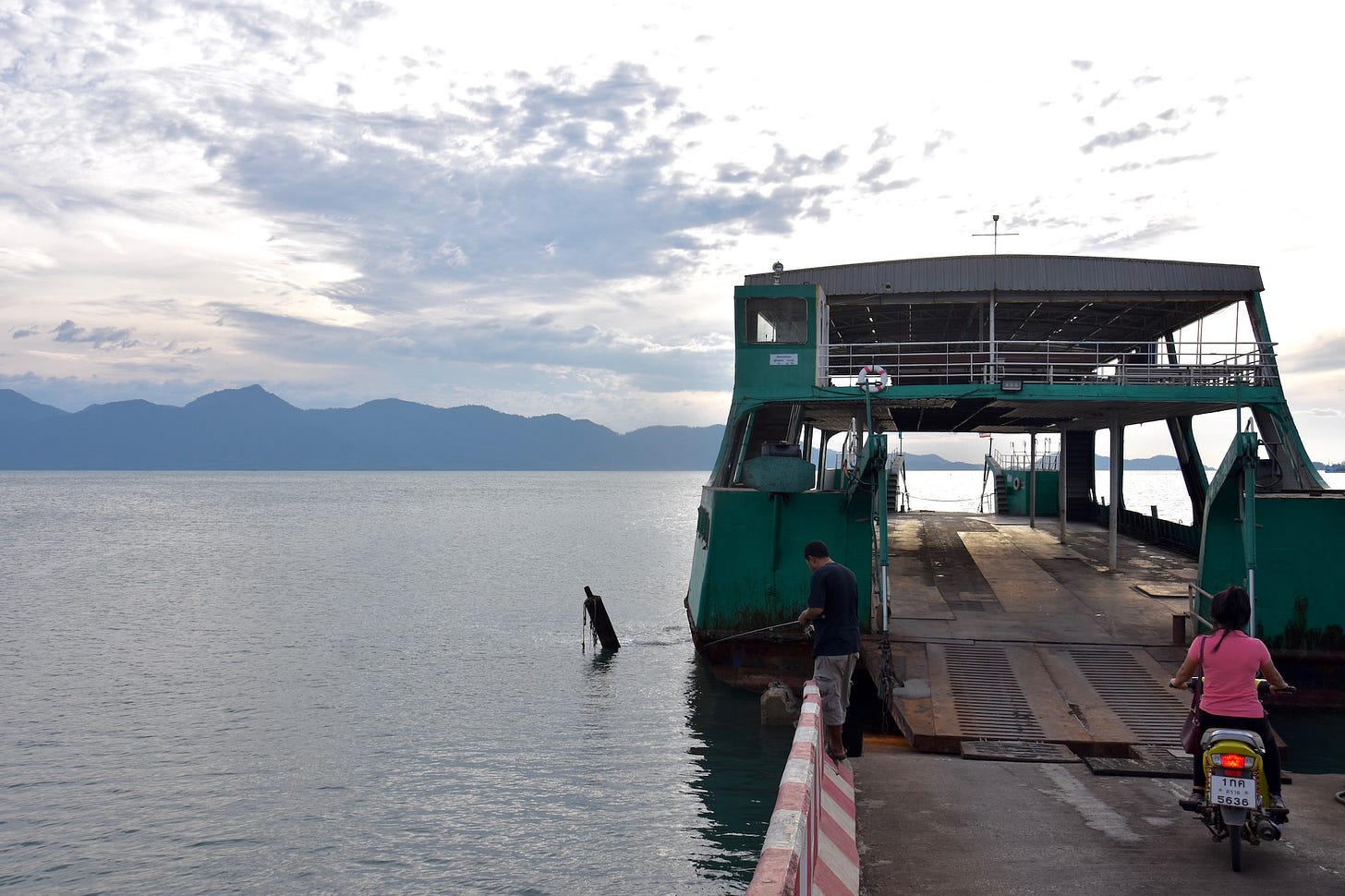
The lack of one piece of infrastructure that some people would still like to see built, a bridge from the mainland to Ko Chang, means that motorists wait for hours to access Ko Chang's car ferries around Thai holiday weekends. There has long been talk of building such a bridge — and of constructing a road across the rugged south of Ko Chang. File both of these ideas under "maybe someday.”
Ko Chang has seen some nutty development in the past, notably in the early 2000s with the construction of the Grand Lagoona. Built into a remote cove on the south coast, it was a sprawling resort with whimsical design features that brought a lot of damage to the environment. Most of the resort is abandoned today, including one nautical-themed block of rooms resembling a "ghost ship."
Ko Samet, for its part, is controversial for simultaneously being a heavily developed island and the focal point of a national park. It’s one of the only places in Thailand where visitors must buy a ticket from the DNP in order to go a little further down the coast to check in at one of the many privately owned resorts.
Fishing, shipping and industry
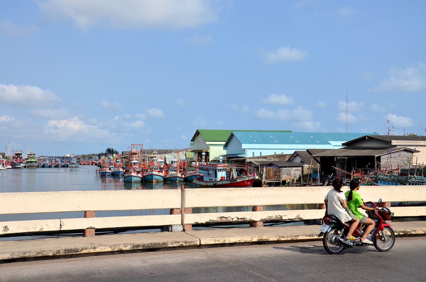
Major fishing centers are found at Khlong Yai in Trat, Khlung in Chanthaburi, and, the largest in this zone, Pak Nam Rayong in the provincial capital of Rayong province. This city and its western neighbor, Map Ta Phut, also have some massive industrial complexes and resultant pollution. In 2013, an oil spill from a burst underwater pipe in the Gulf caused serious damage on Ko Samet.
Transportation
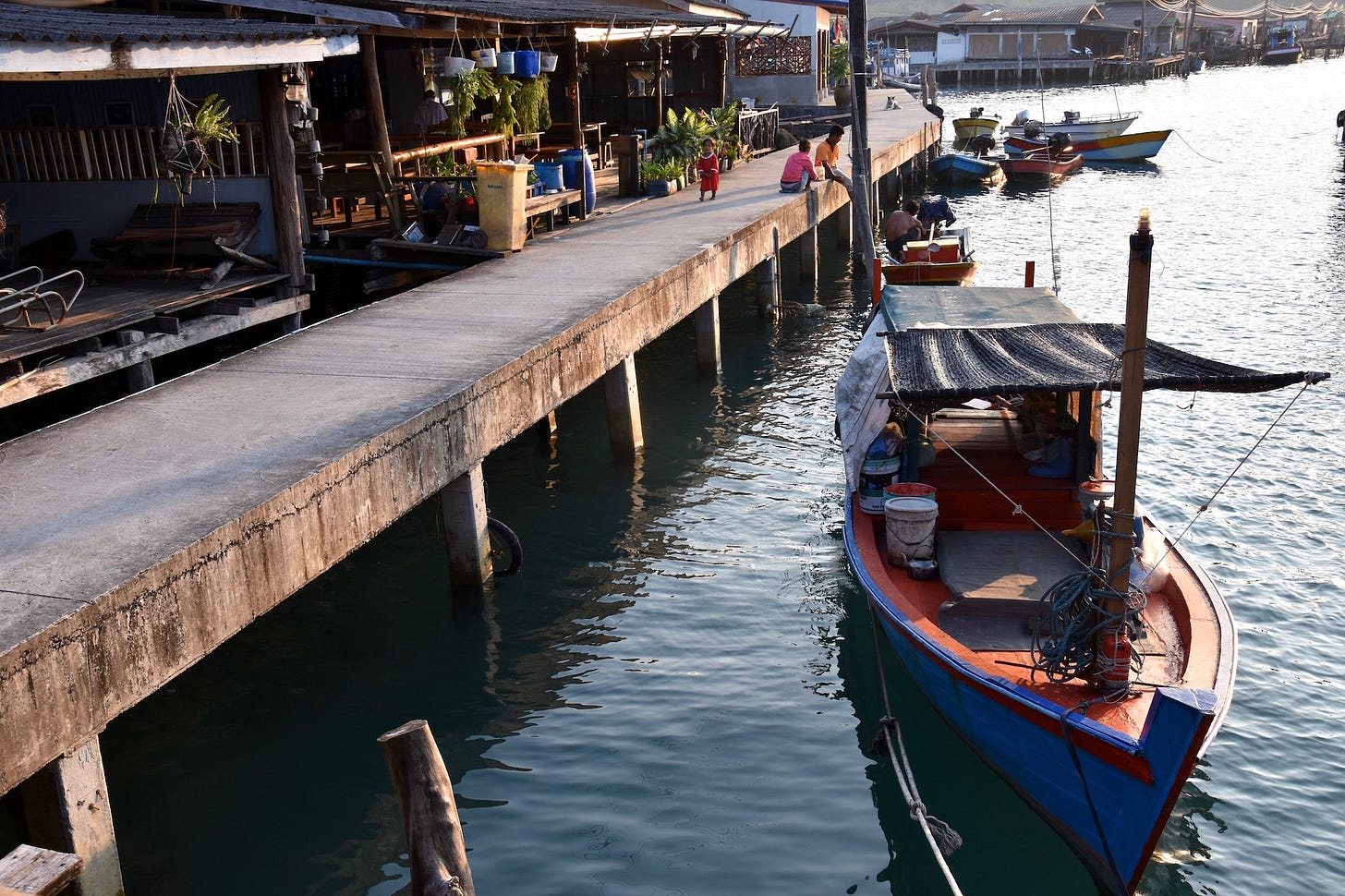
Year-round ferry piers are found in Laem Sok (for Ko Kut), Laem Ngop (for Ko Chang / Ko Mak), and Ban Phe (for Ko Samet). Seasonal island-hopping ferries run in Mu Ko Chang from November through April, connecting the islands of Ko Chang, Ko Wai, Ko Mak, and Ko Kut. Only Ko Chang has a reliable car ferry — two of them, in fact.
At all other islands in the Eastern Gulf, such as Ko Jeek in Chanthaburi or the Ko Man trio in Rayong, visiting necessitates a private boat and/or tour.
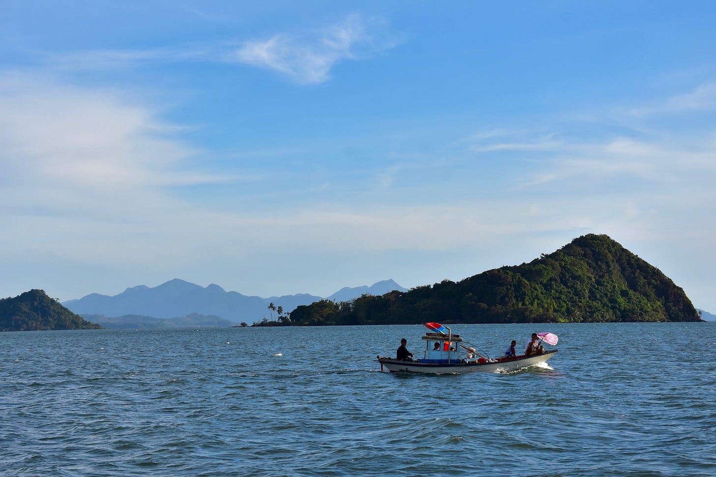
The types of longtail boats that are common in the South of Thailand are few and far between in the Eastern Gulf, with locals relying on various motorboats and converted fishing boats, as well as the usual speedboats and the old, dutiful slow ferries. Owing to the reliance on these types of vessels, the average price of a private boat rental tends to be higher in the Eastern Gulf than in the South.
The Eastern Gulf has two airports. TDX (Trat) is near the Ko Chang ferry piers, and UTP (U-Taphao) is by the coast near the western border of Rayong. Not many travelers use either of these airports because Trat is exclusively used by Bangkok Airways; and as for U-Taphao, most travelers forget about it in favor of a flight to BKK (Suvarnabhumi), which is only 145 km further north.
The Eastern Gulf has no rail access. Someday there will be, supposedly, a high-speed rail line linking Bangkok to U-Taphao and, perhaps some day long after that, it might even bullet people all the way to Trat.
The interprovincial bus terminals at the capital cities of Trat, Chanthaburi, and Rayong all provide plentiful routes within the Eastern Gulf sub-region as well as to more distant provinces. Buses to Bangkok can also be caught in the small cities of Khao Saming, Khlung, Ban Phe, Klaeng, and Map Ta Phut. The main highway of this zone, Sukhumvit or Highway 3, cuts through all three of the capital cities and is, indeed, the very same Sukhumvit Road of Bangkok lore.
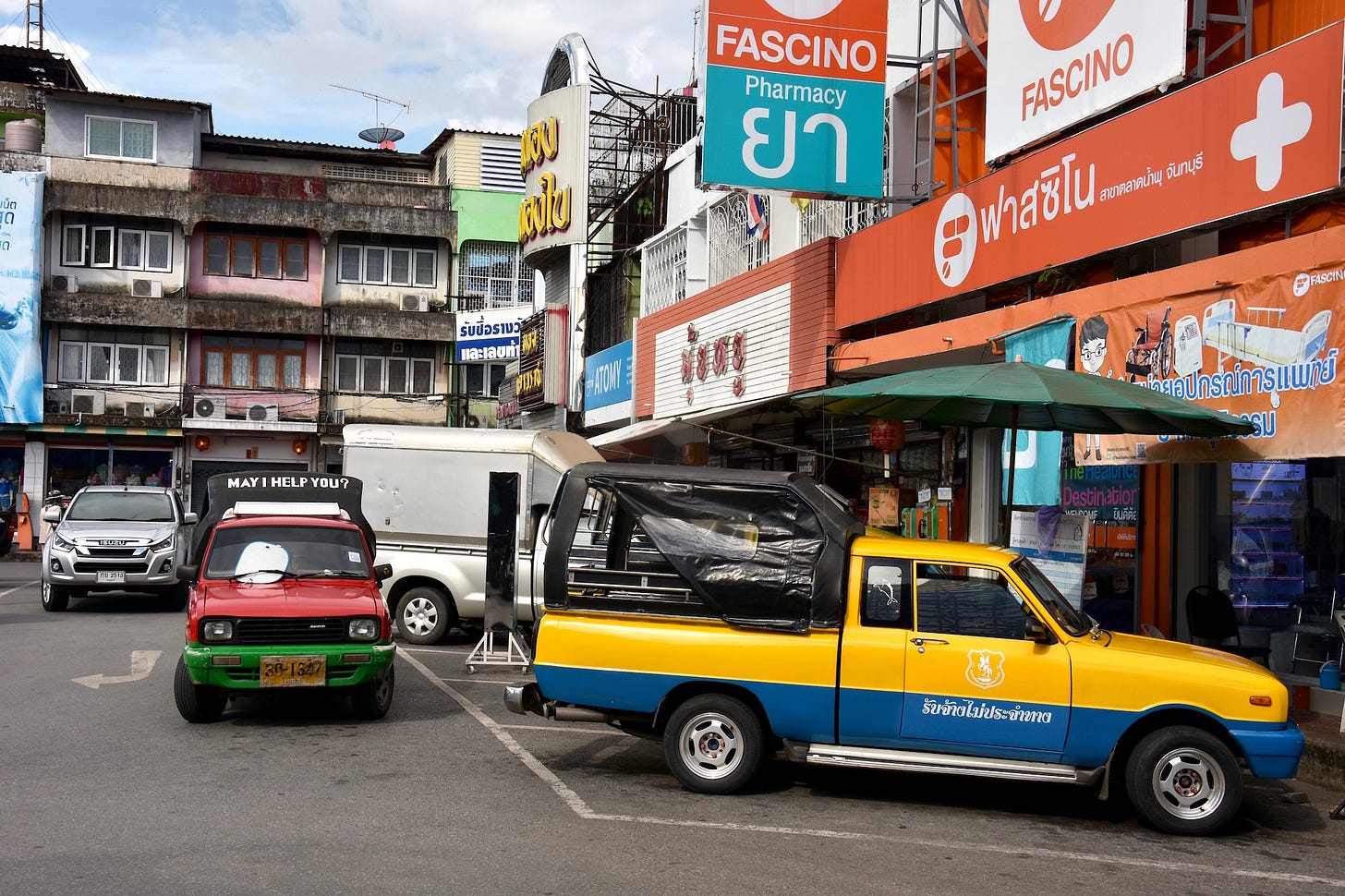
Public songthaews and vans rumble around on local routes, such as from Trat town to Laem Ngop, or from Rayong to Ban Phe. In Chanthaburi, in particular, songthaews function as taxis as well. Public songthaews also run, at considerably higher expense, on Ko Chang, Ko Mak and Ko Kut.
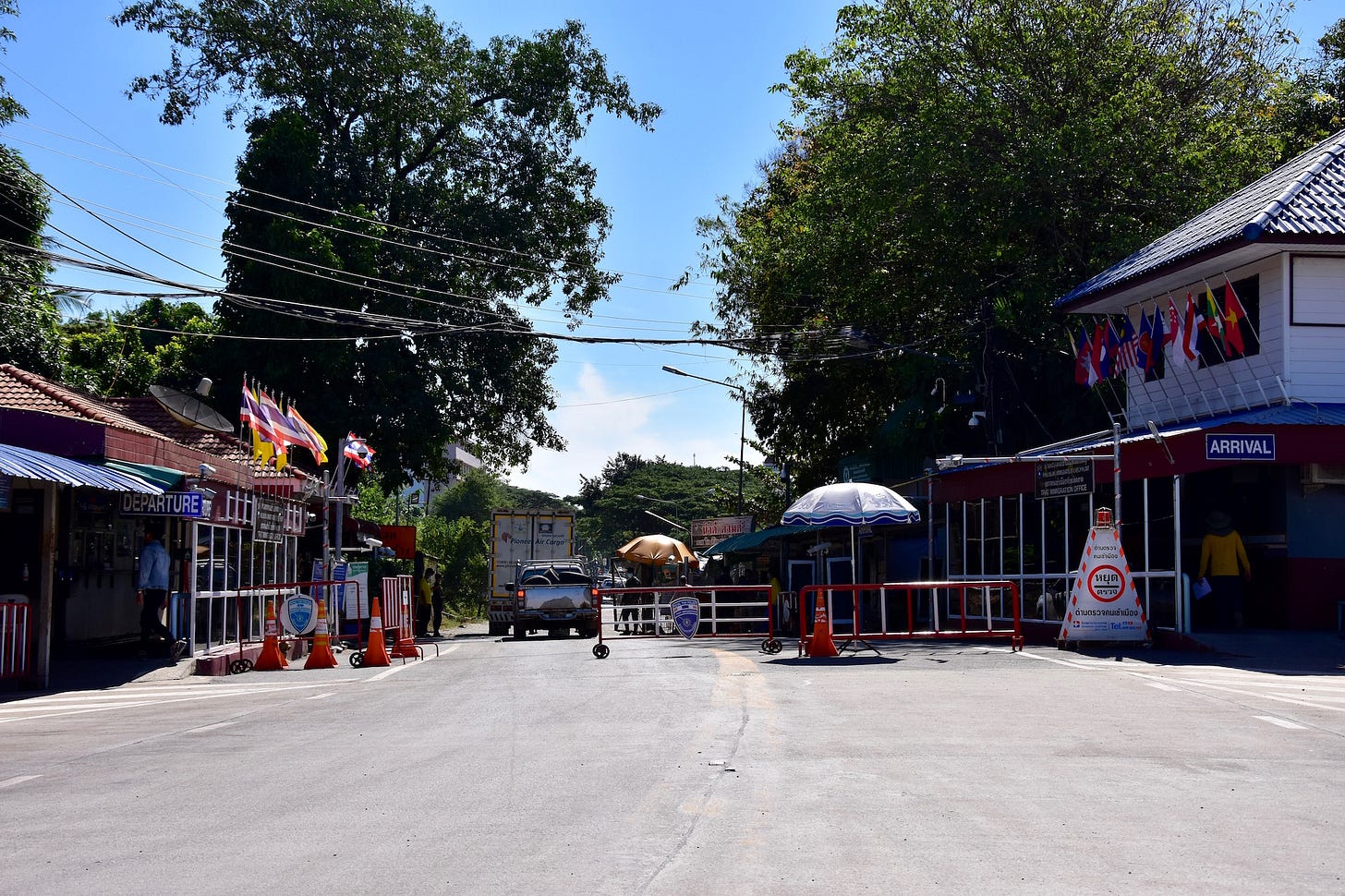
The Eastern Gulf has three border crossings with Cambodia. The first and most popular of the trio, by far, is at Hat Lek, found at the tail end of the 'Trat panhandle' and accessible by van from Trat town. On the Cambodian side, Koh Kong puts you within striking distance of several Cambodian islands further east. The other two crossings — at Ban Pakard and Ban Laem — are both in northern Chanthaburi province, and both not used much by foreign travelers.
Further T.I.C.D. sections from the Eastern Gulf:
Other resources:
'Four weeks in Eastern Thailand' (Travelfish.org)
'Thailand Eastern Island Explorer' (Travelfish.org)
Thank you for reading Thai Island Quest, an independent, reader-supported e-newsletter sharing the beauty, challenges and distinctive identities of Thailand’s islands and shorelines. Yes, all of them.
Copyright: David Luekens 2022-23.




Great write-up David!
i must confess, i've not been east of (awful) Pattaya, surely someday when i return to my beloved Thailand, i will venture there...