Welcome back to the Thai Island & Coastal Directory, a book-in-progress that I expect to be the most complete guide to coastal Thailand ever written in English, covering more than 800 islands. For info on how to use the T.I.C.D. and a working Table of Contents, paddle over here. Thank you for reading!
Resuming Rayong province…
Rayong provincial coast, offshore islands & inland reaches
The Rayong coast, spanning roughly 150 km, bridges the urban and industrial orbit of Bangkok / Chonburi with the far more natural and sedate shoreline that continues east through the coasts of Chanthaburi and Trat provinces.
As far as islands go, after you take away Mu Ko Samet and Ko Mun, Rayong province has only an islet, a speck and an estuary island left to share. As for the coast, I’ve particularly enjoyed traveling east of the provincial capital, all the way from Hat Mae Ramphueng to the Prasae River estuary in the rural east.
And yes, that includes Ban Phe! This humble pier town joins Laem Mae Phim to combine fishing with tourism that relies heavily on the domestic trade. While nearby Ko Samet draws many well-heeled travelers, the mainland beaches are focused more on working- and middle-class folks, including many with kids and grandparents in tow. A fair number of expats and retirees hang around as well.
The west side of this 3,552-sq. km province hosts the capital, Mueang Rayong, where major fishing activity buzzes at Pak Nam Rayong. Nearby to the west and spanning some 20 km of coastline on its own, the Map Ta Phut industrial complex houses an oil refinery, more than 150 factories and a deep-sea port.
But only around 5-10 km west of all that industry, near U-Tapao - Pattaya - Rayong International Airport (UTP) and closer to Sattahip in Chonburi province than Mueang Rayong, Hat Phayun is one of a few quiet beaches backed by greenery. With a name that harks back to when dugongs could be seen there, it joins Hat Phala in an outlook that includes Mu Ko Samae San over in Sattahip to the west.
Mainland Rayong has two national park areas. The first is Khao Laem Ya, a rugged and hilly cape that is only a small part of Khao Laem Ya - Mu Ko Samet National Park, which primarily covers parts of Ko Samet and other islands. The other NP is Khao Chamao - Khao Wong, comprising an inland jungle area near the border with Chanthaburi in the rural northeast of Rayong province.
Ban Chang district coast
At the western edge of Rayong province, the limited coastal areas of A. Ban Chang have an unexpectedly rural feel given the neighbor to the east — the enormous industrial zone at Map Ta Phut.
The location west of all that industrial sprawl makes Ban Chang feel entirely separate from the other beach areas of Rayong province. Some would say it falls more into the orbit of Sattahip, the district where the Royal Thai Navy is headquartered in the south of Chonburi province to the west.
Hat Phayun / Hat Phala / Hat Nam Rin: Beaches & villages | 25-40 km W of Mueang Rayong & 6-12 km E of Sattahip district in Chonburi | Minimal traffic; Narrow lanes; Airport (UTP) | Long fair beaches; Small reef (Hat Phayun); Agricultural (fruit) | Low-level tourism | Lodgings (10+); Apartments & houses; Seafront eateries; Markets & shops | Low-key; Locals at sunset; Wats & shrines; Preferred by long stayers & retirees; Minimal nightlife | Giving back (beach clean-ups)
Mueang Rayong (‘Rayong town’)
Size & status: Mid-size city; Capital of Rayong province
Location: 20 km W of Ban Phe (piers to Ko Samet) & 150 km SE of Bangkok
Transport: Multiple interprovincial bus / van terminals; Songthaew; Limited car & motorbike rental
Topography: Fair beaches (Hat Saeng Chan; Hat Laem Charoen; Hat Suchada); One of only 3 provincial capitals in Thailand with at least one beach located within the city; River town (Mae Nam Rayong)
Inhabitation: Mid-level tourism; Old town with heritage architecture (Yomjinda); Major fishing hub (Pak Nam Rayong; Hat Saeng Chan)
Warning: Serious pollution has been reported off the coast
Facilities: Lodgings (25+); Many independent restaurants, bars & shops; Markets & street food; Large stores & shopping malls; Banks & ATMs
Vibe: Few travelers hang around; Primarily domestic travelers; Seafood destination (Hat Saeng Chan); Wats & shrines; Art scene (Yomjinda); Culinary scene
Activities: Sightseeing (Wat Pa Praduj; Museums in Yomjinda old town); Pro football (Rayong F.C.)
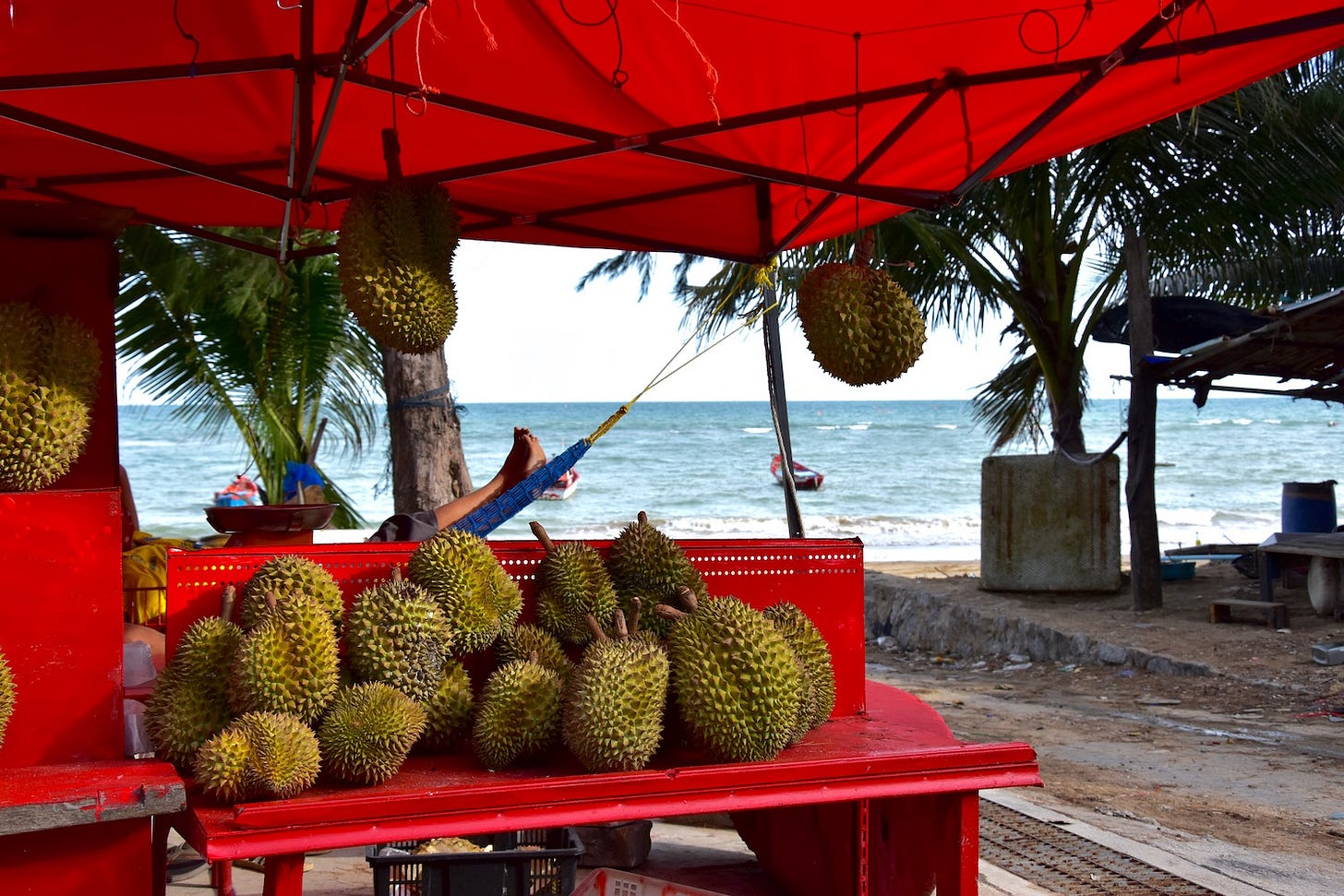
Look for: All kinds of seafood; Durian & other fruits (Talad Taphong)
Giving back: Trash Hero Rayong
Ko Saket: Islet | 400 m E of Map Ta Phut industrial zone | Floating pier | Small wing beach; Rocky; Forested | Minimally inhabited | No facilities
Hat Mae Ramphueng & Khao Laem Ya
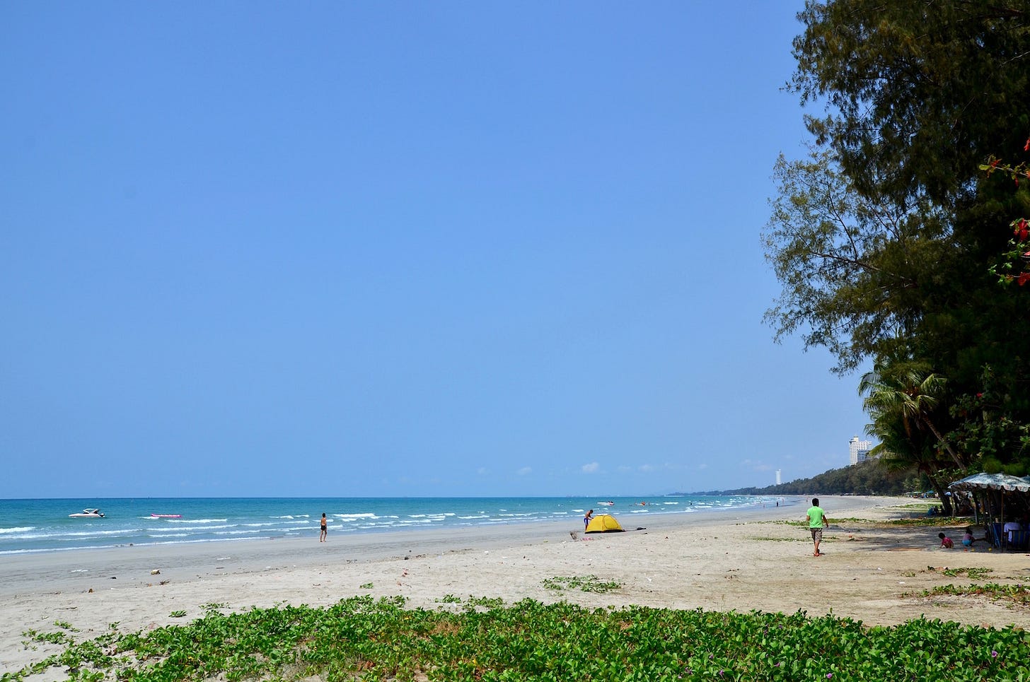
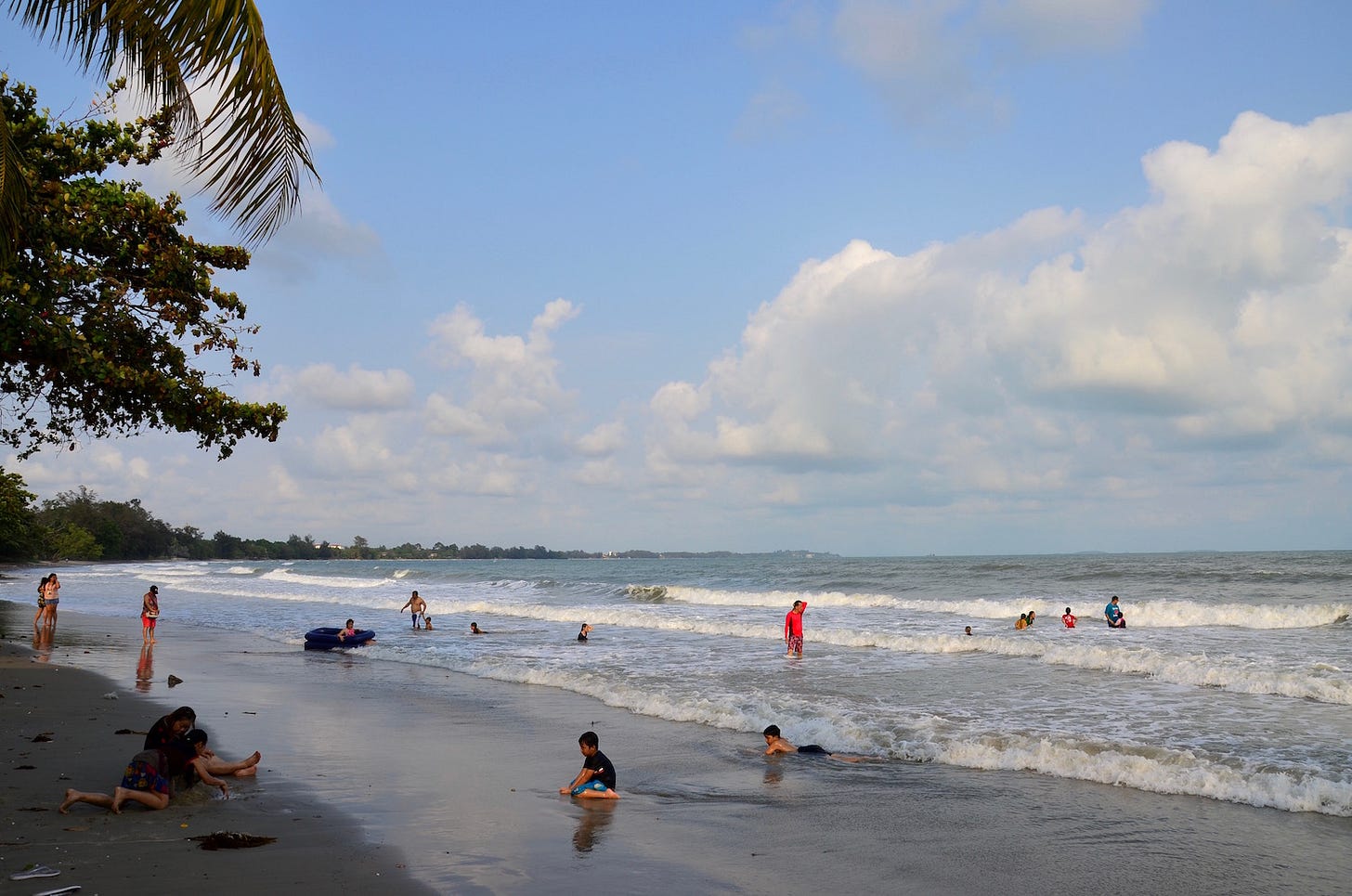
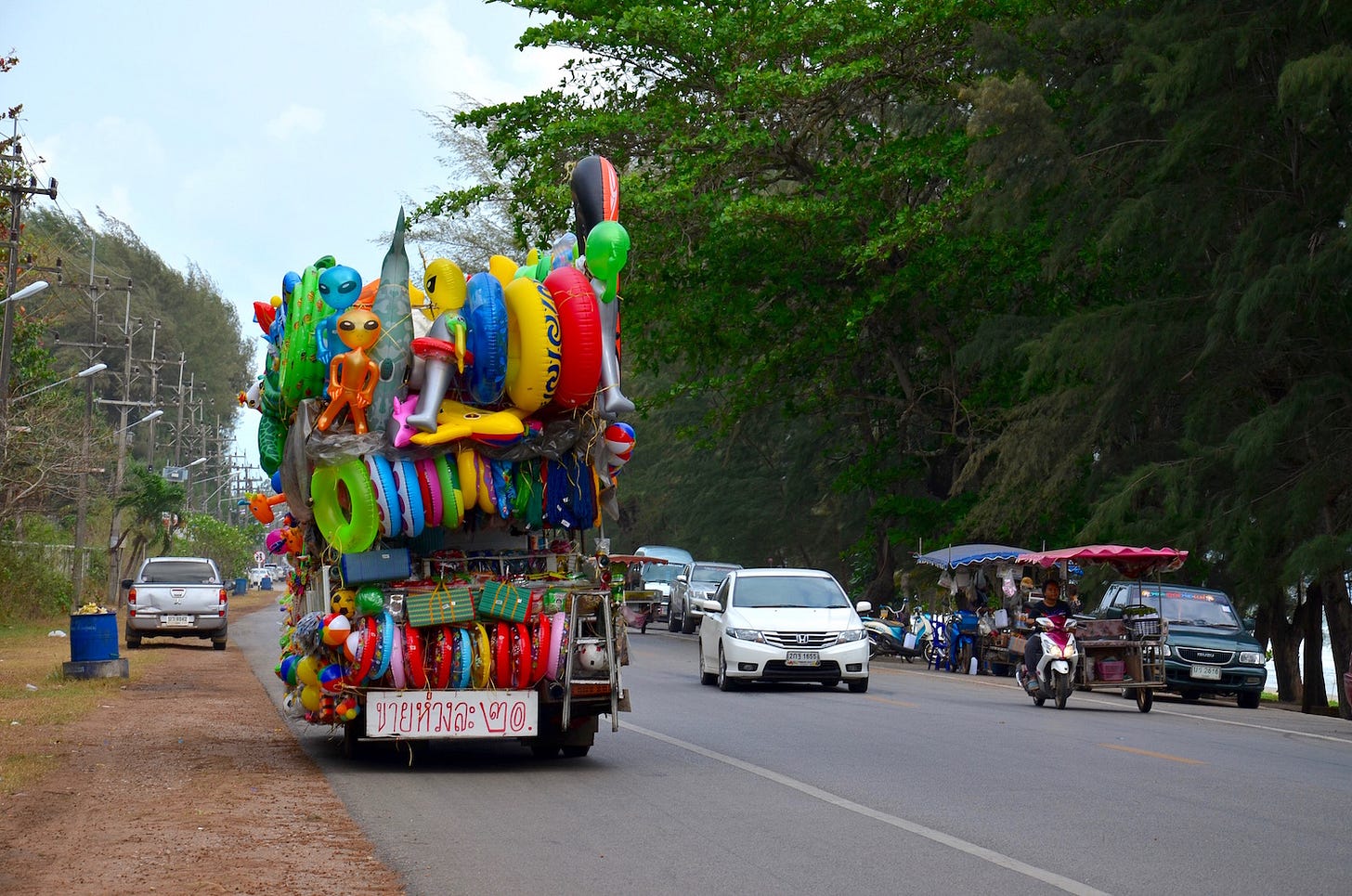
Composed of some 15 km of nearly uninterrupted sandy shores backed by pine-like son trees and a two-lane beachfront road, Hat Mae Ramphueng is where many of the residents of Rayong go to splash and unwind. It is also known for water sports, having hosted jet-skiing championships and the like.
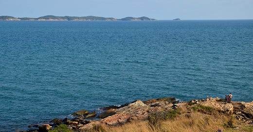
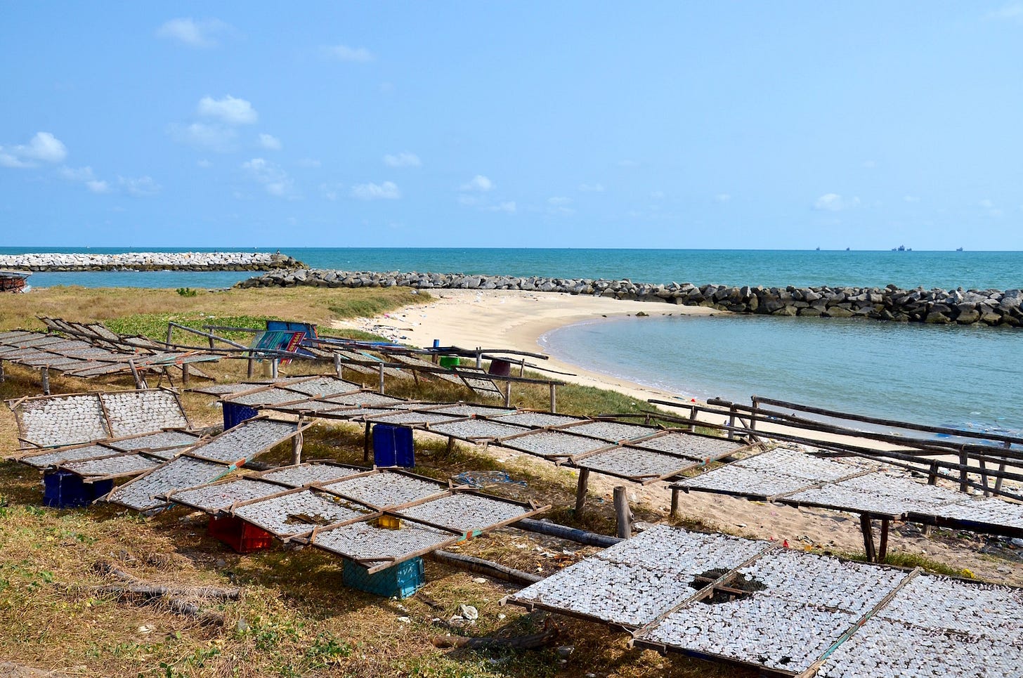
A beach this long deserves a hefty headland to mark its end, and the area has precisely that at Khao Laem Ya. Part of the national park that, along with Ko Samet, bears its name, this 600-m-long cape is also a sizable hill affording a dramatic vista over Ko Samet’s reptilian profile, which is only a few km away.
Hat Mae Ramphueng: 15-km beach & town | Begins 10 km E of Mueang Rayong | Songthaew; Bicycle & motorbike rental | Mid-level tourism; Some abandoned building sites | Lodgings (25+); Apartments & houses; Seafront eateries; Independent restaurants | Low-key in places; Locals at sunset; Busy on Thai holidays; Preferred by long stayers & retirees; Some nightlife; Family-friendly | Jet-skiing & banana boats; Wind-surfing; Cycling; Road trips
Khao Laem Ya: 600-m-long cape | Directly E of Hat Mae Ramphueng & W of Ban Phe | Road access; Pier | Good beach; Rocky; Forested hills | Mostly NP-controlled | NP HQ, restaurant, shop & campground; Privately run lodgings (1) | Quiet; Family-friendly | Viewpoint; Hiking; Kayaking
Ban Phe
Size & status: Small city; Part of A. Mueang Rayong
Location: 6 km N of Ko Samet & 20 km E of Mueang Rayong
Transport: Multiple ferry piers (Ko Samet); Interprovincial bus & van stop (Bangkok; Pattaya; Trat); Songthaew; Boat & motorbike rental
Topography: Small beach (Hat Ban Phe); Pier town; Some mountainous jungle
Inhabitation: Mid-level tourism; Urban areas; Stilted fishing villages
Facilities: Lodgings (10+); Travel agencies & tour companies; Many independent restaurants, bars & shops; Seafood markets (Sukhaphiban Soi 2/8; Tha Nuan Thip); Street food; Banks & ATMs
Vibe: Few travelers hang around; Seafood destination; Some nightlife; Largely family-friendly; Small expat scene; Culinary scene
Activities: Sightseeing (Rayong Aquarium); Boat trips (Mu Ko Samet); Meditation retreat (Wat Marp Jan)
Hat Suan Son: 6-km-long beach & village / forest park | 4 km E of Ban Phe | Songthaew; Tree-lined beach road | Fishing village | Lodgings (10+); Campground (Suan Son Forest Park); Seafront restaurants; Seafood market on the beach | Quiet; Family-friendly
Laem Mae Phim & Pak Nam Prasae
In the sleepier eastern reaches of Rayong province, Hat Laem Mae Phim and a few lesser-known beaches nearby, such as Hat Bang Son, are favorites of Thai family travelers. A small expat community is also found in the area.
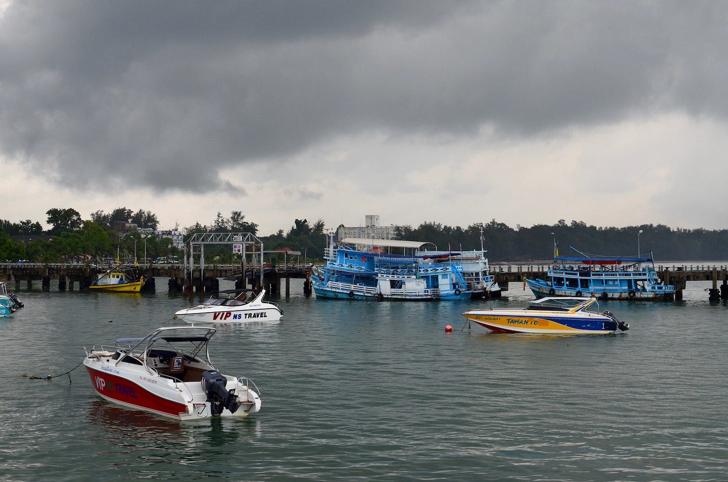
At a pier on the wee cape that gives the Laem Mae Phim area its name, boats launch into the nearby Ko Mun trio of islands. Further east, the Prasae River estuary hosts the only sizable mangrove forest in Rayong province.
All of the above makes Laem Mae Phim and its surrounds the primary tourism alternative that Rayong province has to offer, beyond the far busier and more heavily developed areas of Ko Samet, Mueang Rayong and Ban Phe.
Laem Mae Phim
Size & status: 10-km-long beach; Small town; Part of Klaeng district; Name also used for nearby coastal areas
Location: 30 km E of Ban Phe & 15 km S of Klaeng
Transport: Songthaew; Boat, bicycle & motorbike rental
Topography: Fair beaches; Small cape (Laem Mae Phim)
Inhabitation: Mid-level tourism; Small-scale fishing
Facilities: Lodgings (50+); Apartments & houses; Travel agencies & tour companies; Many independent restaurants, bars & shops; Markets & street food; Banks & ATMs
Vibe: Busy on Thai holidays; Some nightlife; Family-friendly; Preferred by domestic travelers, long stayers & retirees; Seafood destination
Activities: Boat trips (Ko Mun; Mu Ko Samet); Jet-skiing & banana boats; Wind-surfing; Cycling
Ko Khi Pla: Speck | 800 m S of Hat Laem Mae Phim | Rocky | Uninhabited
Pak Nam Prasae: River estuary with village | 15 km NE of Laem Mae Phim | Road access; Minimal to no public transport; Small piers | Mangrove forest; Aquaculture | Scenic fishing village; DMCR research station; Naval presence; Shrines | Homestays; Small eateries | Primarily domestic travelers | Mangrove walkways; Sightseeing (HTMS Prasae restored ship & memorial); Boat trips (mangroves)
Ko Ban Laem Son: Estuary island / village | W side of Pak Nam Prasae | Road access; Bridge; Small Pier | Beach; Aquaculture | Small-scale fishing | Homestays; Seafront eateries | Quiet; Expect little to no English to be spoken
Notable inland reaches of Rayong
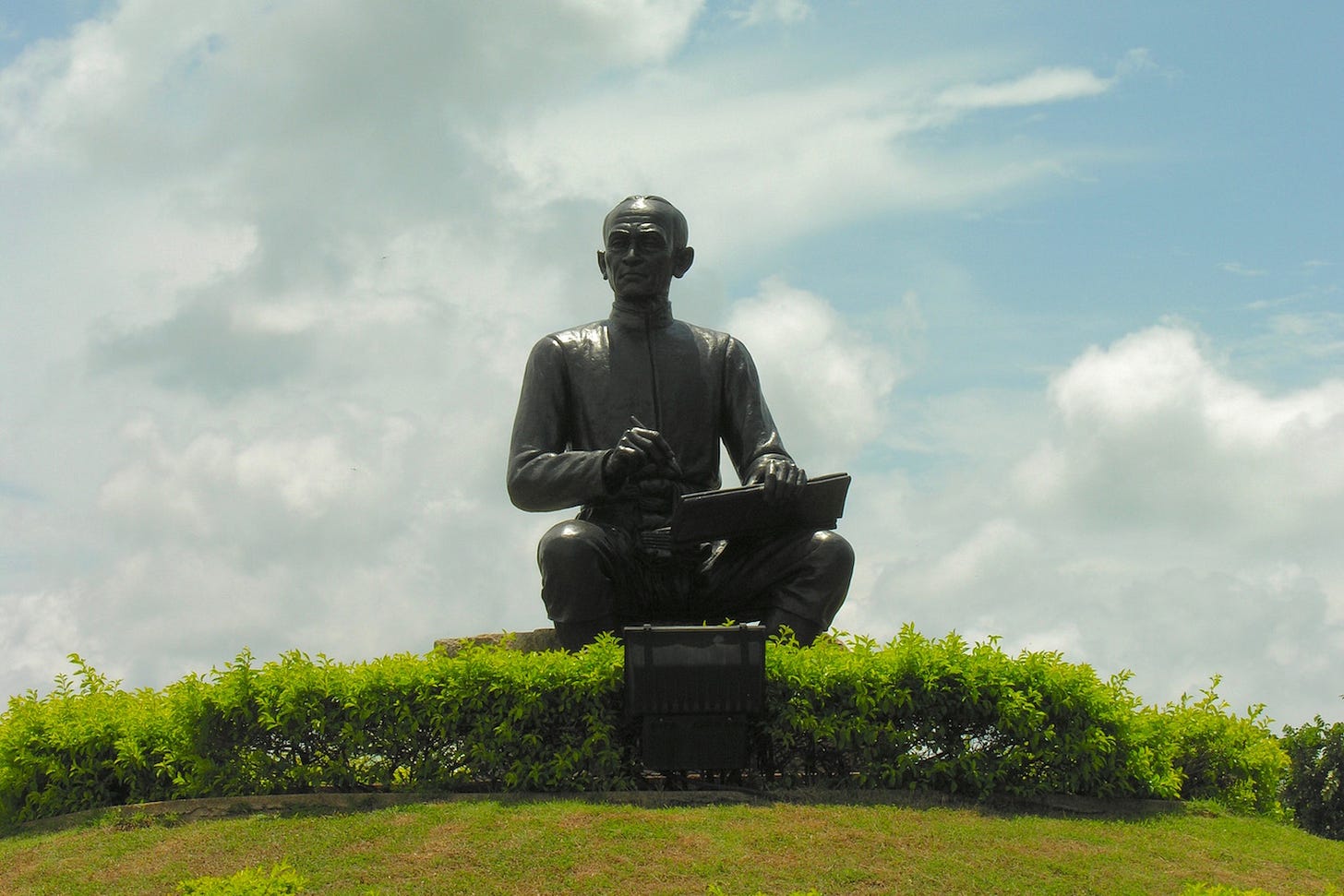
Literature-loving travelers might consider visiting Klaeng, birthplace of the great Thai poet and writer, Sunthorn Phu (1786-1855). Though Rayong province is more known for industry than jungle, Khao Chamao and Khao Wong will satisfy nature enthusiasts in search of hiking and waterfall-splashing opportunities. There is even some lake-island hopping to be done up there!
Klaeng: Small city / district center | 15 km N of Laem Mae Phim | Interprovincial bus & van stop; Songthaew | Urban areas; Agricultural; Aquaculture | Lodgings (10+); Markets & shopping centers; Restaurants & street food | Expect little to no English to be spoken | Sightseeing (Sunthorn Phu Museum)
Khao Chamao / Khao Wong: Mountainous jungle area; NP land | 20-40 km N of Klaeng | Minimal to no public transport | Fair to good waterfalls (Khao Chamao; Khlong Pla Kang); Caves (Khao Wong); Reservoir with islands (Kaeng Prasae near Ban Khao Hin Dat) | NP HQ, lodgings, campground & restaurant (Khao Chamao); NP station (Kaeng Prasae; Khao Wong) | Primarily domestic travelers; Busy on Thai holidays | Hiking; Boat trips (Kaeng Prasae)
Other mainland Rayong coverage from TIQ:
Other resources on mainland Rayong:
Rayong travel guide (Travelfish.org)
Ban Phe travel guide (Travelfish.org)
Useful contacts in mainland Rayong:
Rayong Hospital: 138 Sukhumvit Rd / 038 611 104
Bangkok Hospital Rayong: 038 921 999 / bangkokhospitalrayong.com
Klaeng Hospital: 254 Sukhumvit Rd / 038 677 534
Rayong Provincial Police: Mueang Rayong / 038 611 200
Khao Laem Ya - Mu Ko Samet National Park: 038 653 034 / facebook.com/sametnationalpark
Khao Chamao - Khao Wong National Park: 038 996 202 / facebook.com/Khao-Chamao-Khao-Wong-National-Park
…Exiting Rayong province
To view all previously published parts of the Thai Island & Coastal Directory and many other articles on Thai islands and coastal areas, see the welcome page.
Thank you for reading Thai Island Quest, an independent, reader-supported e-newsletter sharing the beauty, challenges and distinctive identities of Thailand’s islands and shorelines. Yes, all of them.
Copyright, David Luekens: All Rights reserved.

