Welcome back to the Thai Island & Coastal Directory, a book-in-progress that I expect to be the most complete guide to coastal Thailand ever written in English, covering more than 800 islands. For info on how to use the T.I.C.D. and a working Table of Contents, paddle over here. Thank you for reading!
…Resuming Trat province
Trat provincial coast, offshore islands & inland reaches
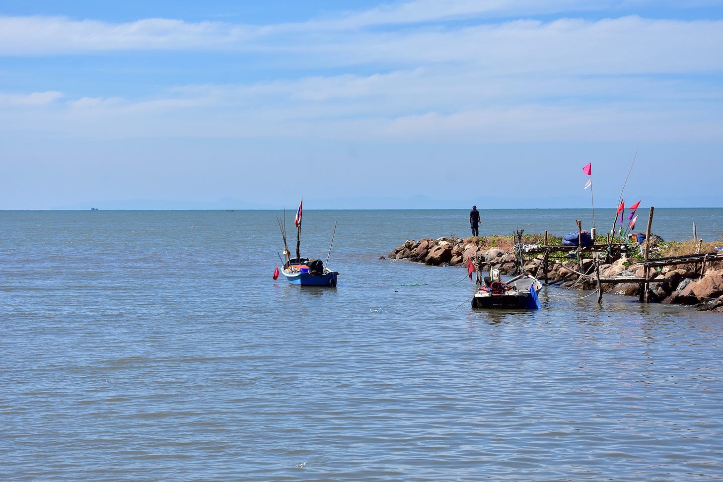
Trat's mainland coast extends for nearly 200 km between Chanthaburi in the west and Cambodia's Koh Kong province in the east. Though not nearly as popular as the islands of nearby Mu Ko Chang, Trat’s provincial shores include 3 mainland coastal areas that all stand as cohesive destinations. Yes, most travelers skip them, but more offbeat-minded travelers might consider the Trat coast.
Also covered in this section are the provincial capital, i.e. Mueang Trat or “Trat town,” and a couple of rural mainland areas of note.
Oh, and you didn’t think I’d file an entire section of the Thai Island Directory without including a single island, did you? Although Trat is slim on islands found very close to its shores (i.e. “offshore islands”), it does have 8 obscure isles to share — even if some would say that most of them should not be counted.
(This section is part of a free early-release chapter of the Thai Island Directory. To access all six forthcoming chapters as they are published, and plenty more from Thai Island Quest, welcome aboard for $5 USD per month.)
Laem Ngop
Size & status: District spanning roughly 40 km of coast
Location: W of Mueang Trat & 6 km N of Ko Chang
Transport: Ferry piers (To Ko Chang from Tha Ao Thammachat & Tha Centerpoint; To Ko Mak from Tha Laem Ngop; To Ko Jeek from Tha Ang Kapong); Interprovincial buses (to Bangkok from Ko Chang ferry piers); Public songthaew (to/from Trat town, Ban Ang Kapong & Khao Saming); High traffic at times (Ko Chang ferry queues during holidays); Airport (Trat - TDX)
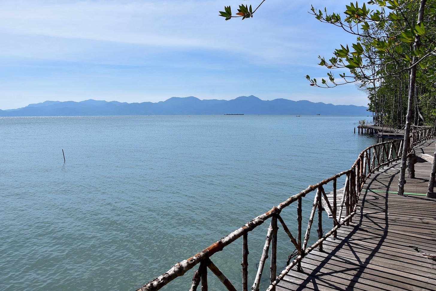
Topography: Minimal beaches (Ao Tan Khu); Black-sand beach (Hat Sai Dam); Mangrove forest; Aquaculture; Rural in places
Inhabitation: Small town (Ban Laem Ngop); Some commercial fishing; Villages
Facilities: Provincial Immigration office (Ban Laem Ngop); Lodgings (20+); Travel agencies (at ferry piers) | Banks & ATMs
Vibe: Fishing town; Wats, shrines & mosques; Few travelers hang around
Activities: Mangrove walkway (Hat Sai Dam)
Sightseeing: (Laem Ngop Lighthouse; Ban Nam Chiao mosques; Battle of Ko Chang Memorial)
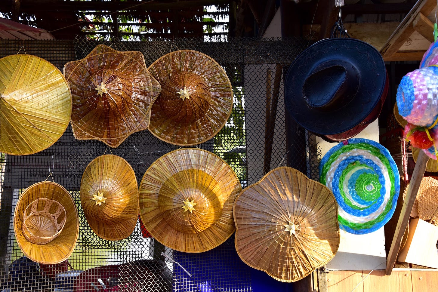
Look for: Basketry (Ban Laem Ngop)
Ko Pui: Islet | 1 km W of Tha Vasansamut in A. Laem Ngop | Isthmus beach; Forested; Mangroves | Minimally inhabited | No facilities
Laem Sok & Pak Nam Trat
Especially when combined, this lengthy cape and expansive river estuary make for a fine way to spend a day in a boat and/or on wheels.
Laem Sok: Cape spanning 30 km | E of Ban Laem Ngop & S of Mueang Trat | Ferry pier (to Ko Kut & Ko Mak from Tha Laem Sok); Public songthaew; Scenic roads | Minimal beaches; Pastoral; Agricultural (durian, rubber, rice); Extensive mangrove forest (Pak Nam Tha Thapao) | Fishing villages | Lodgings (3+); Restaurants | Rural; Seafood destination | Road trips
Pak Nam Trat: Estuary & bay spanning roughly 15 km across from W to E | Directly NE of Laem Sok & 15 km S of Trat town | Extensive mangrove forest; Brackish rivers | Minimally inhabited; Villages; Homestays | Quiet; Primarily domestic tourists; Expect minimal to no English to be spoken | Boat trips (from Ban Tha Ranae & Ban Ko Pu); Bird-watching | Community-based tourism (Ban Tha Ranae) | Look for: Basketry
Ko Pu / Ko Loi / Ko Nok / Ko Chao / Ko Klom / Ko Kung / Ko Pumirus: Estuary islands | Directly in and near mouth of Trat River | Accessible by road from mainland (Ko Pu only) | No beaches; Mangroves | Fishing village (Ban Ko Pu); fishing shacks (islets) | Pier; Restaurants; Public park (Ko Pu)
‘Trat panhandle’
Size & status: 70-km-long strip of land with widths of 0.5 to 10 km between the Gulf and Cardamom Mts of Cambodia; N half is part of A. Mueang Trat; S half encompasses all of A. Khlong Yai
Location: SE corner of Trat province; Thailand's easternmost terrain in the Thai Eastern Gulf (Hat Lek)
Transport: Border crossing (Hat Lek to/from Koh Kong, Cambodia); Songthaew & van (from Trat town, Ban Khlong Yai & Hat Lek)
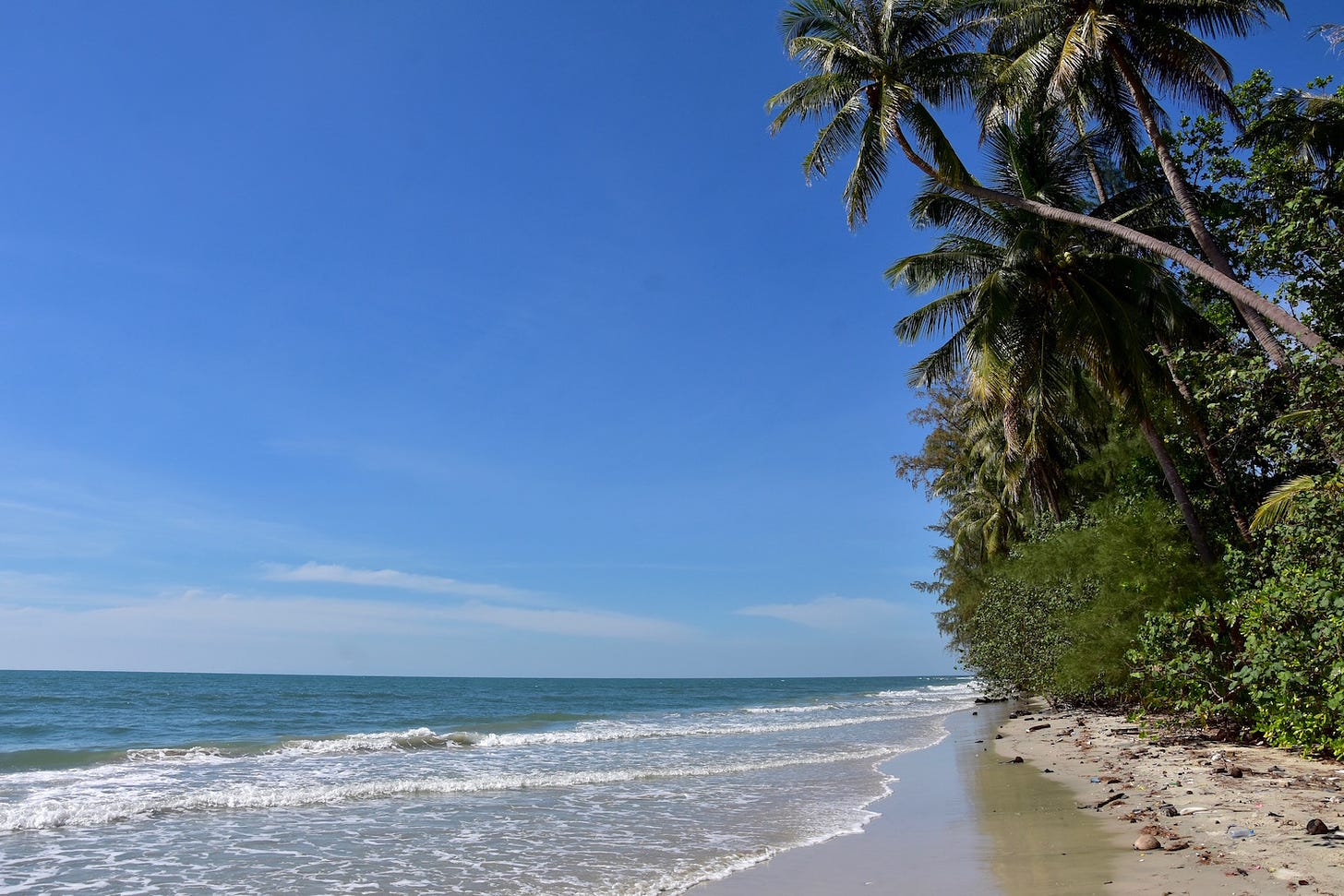
Topography: Fair beaches (Hat Ban Chuen, Hat Son Ngam, Hat Pailin, Hat Mai Rut, Hat Tubtim, Hat Ploy Daeng; Hat Lan Sai); Mountainous jungle (Khlong Meru & along border with Cambodia); Agricultural (durian, rubber)
Inhabitation: Small town (Ban Khlong Yai); Villages; Rural in places; Govt-controlled beach that is open to public (Hat Ratchakarun); Low-level tourism; Scenic fishing village (Ban Mai Rut); Major fishing hub (Khlong Yai)
Facilities: Lodgings (10+); Restaurants; Markets; Street food; Banks (Ban Khlong Yai); Public park ('The narrowest part of Thailand')
Vibe: Out of the way; Offbeat travel; Locals at sunset; Expect little to no English to be spoken; Khmer language often heard
Activities: Road trips; Dolphin-viewing trips (from Laem Klat)
Look for: Kuay thiao kung tak tae chiao (mantis shrimp noodles) in Ban Mai Rut & Ban Khlong Yai
Notable inland reaches of Trat
A capital town and a bit of mountainous jungle near Cambodia.
Mueang Trat (‘Trat town’)
Size & status: Small city; Capital of Trat province; Mid-level tourism
Location: Near the center of Trat province; 30 km E of Ko Chang ferry piers; 85 km NW of Cambodia border crossing at Hat Lek
Transport: Interprovincial bus terminal; Public songthaew (to all other districts of Trat); Bicycle & motorbike rental (Old town)
Topography: Flat; River town (Mae Nam Trat)
Facilities: Lodgings (20+); Small guesthouses; Travel agencies; Backpacker area (Old town); Banks & ATMs; Markets & shopping centers; Public parks
Vibe: Heritage architecture (Old town); Backpacker area (Old town); Small expat scene; Street food; Culinary scene; Low-key bars
Activities: Sightseeing (Trat Museum, Old town, Wat Buppharam)
Look for: Nam man lueang (therapeutic 'yellow oil')
Khao Saming: District center | 20 km NW of Mueang Trat & 30 km N of Ko Chang ferries | Crossroads town; Public songthaew (to/from Ban Laem Ngop, Ko Chang ferry piers, Tha Ang Kapong); Interprovincial bus stop (Bangkok, Chanthaburi, etc.) | Banks & ATMs; Markets & shops
Khao / Namtok Khlong Kaew: Mountainous jungle area; National park land (Khlong Kaew) | 50 km N of Trat along Cambodia border | No public transport | Waterfall (Namtok Khlong Kaew) | NP HQ; Toilets; NP restaurant; Camping | Remote; Primarily domestic travelers; Expect little to no English to be spoken | Hiking; Wildlife interest
Other coastal Trat coverage from TIQ:
Other resources on the Trat:
Trat travel guide (Travelfish)
Visitor’s Guide to Trat Town (iamkohchang.com)
Useful contacts in Trat:
Trat Hospital: 108 Sukhumvit Rd, Mueang Trat / 039 513 555
Bangkok Hospital Trat: Sukhumvit Rd, Mueang Trat / 039 612 000
Laem Ngop Hospital: 039 597 040
Khlong Yai Hospital: 039 581 116
Trat Police: Mueang Trat / 039 511 239
Trat Immigration: Laem Ngop / 039 510 840
Nam Tok Khlong Kaew National Park: 063 958 5404 / facebook.com/Klongkaeonationalpark
…Exiting Trat province
To view all previously published parts of the Thai Island & Coastal Directory and many other in-depth articles on Thai islands and archipelagos, see the welcome page.
Thank you for reading Thai Island Quest, an independent, reader-supported e-newsletter sharing the beauty, challenges and distinctive identities of Thailand’s islands and shorelines. Yes, all of them.
Copyright, David Luekens: All rights reserved.


another informative and exhaustively researched (and experienced) chapter in this wonderful directory!!!