Welcome back to the Thai Island & Coastal Directory, a book-in-progress that promises to be the most complete guide to coastal Thailand ever written in English, covering more than 800 islands. For info on how to use the T.I.C.D. and a working Table of Contents, paddle over here. Thank you for reading!
For a map and transport overview about the wider Eastern Gulf coastal zone, see Intro to the Eastern Gulf. For info on how to use the Thai Island Directory and a Table of Contents, paddle over here.
Entering Trat province…
Trat has at least 57 islands, comprising the majority of all the islands found in Thailand’s Eastern Gulf coastal zone and making Trat the fifth most island-rich province in the country.
Mu Ko Chang
The namesake archipelago of Thailand's third largest island begins 6 km off A. Laem Ngop and extends south for some 120 km, eventually poking very close to Cambodian waters. It contains 54 islands and is one of the 3 largest archipelagos in Thailand. Its ferries dock at nine piers, and its divers explore some 40 scuba sites, including 4 shipwrecks.
Several of Mu Ko Chang's islands, notably the entire Ko Rang group and sizable inland stretches of Ko Chang itself, are part of Mu Ko Chang Marine National Park.
In addition to Ko Chang, the archipelago's main tourism islands are Ko Mak and Ko Kut. A handful of smaller islands, such as Ko Wai and Ko Lao Ya, have at least one bungalow resort, but the vast majority of travelers spend the vast majority of their time on one of the three main islands, or hop between them.
I’m personally a big fan of Ko Chang, which stands with Ko Phangan and Ko Lanta Yai as large Thai islands that, despite possessing some mass tourism, fill more alternative roles with several quiet areas to choose. My favorites are all in the S, including the scenic bays of Bang Bao in the SW and Salak Phet in Ko Chang’s sedate SE reaches, not far from where Naval battles took place during the 1941 Thai-Franco War.
In addition to the national park, administration of the archipelago comes from the districts of A. Ko Chang and A. Ko Kut. Out of Thailand's 928 total districts (amphoe), these are 2 of only 10 districts that consist only of islands.
Ko Chang group
This group encompasses not only Ko Chang itself but also the 3 small islands and 15 islets and specks found within 3.5 km off its shores.
Ko Chang
Map shape: Elephant head
Size & status: 3rd largest island in Thailand at 213 square km; Largest island in the Eastern Gulf of Thailand; Partly NP controlled (much of the interior & two waterfalls)
Location: Main island of Mu Ko Chang
Accessibility: From Laem Ngop by vehicle / passenger ferries (fair degree of wheelchair accessibility); from Ko Mak / Ko Kut by seasonal slowboat & speedboat ferries | Multiple ferry piers on Ko Chang (Ao Sappharot / Centrepoint / Bang Bao);
Transport: Songthaew; Vehicle rental (boat, car, jeep, motorbike); High traffic at times (Ferry pier queues; Switchback turns)
Topography: Fair to great beaches (Hat Sai Khao, Hat Khlong Phrao, Hat Kai Bae; Lonely Beach; Ao Bailan; Hat Khlong Kloi; Grand Lagoona Beach; Ao Son; Long Beach; Hat Wai Shak); Small reefs (Hat Khaimook, SW coast) Fair to great waterfalls (Khlong Nueng, Khlong Phlu, Than Mayom, Khlong Nonsi, Kai Bae, Nang Yom); Scenic bays (Ao Bang Bao, Ao Salak Phet), Extensive mountainous jungle (over 700 m at Khao Salak Phet); Mangrove forest (Ao Salak Khok, Ao Salak Phet), Agriculture (rubber, coconut, durian); Rural in places (E; SE)
Inhabitation: Mass tourism (parts of Hat Sai Khao, Hat Khlong Phrao, Hat Kai Bae, Lonely Beach); Mid-level (Ao Bailan; Ao Bang Bao; Hat Khlong Kloi; Ao Khlong Son); Low-level (Ao Salak Phet; E / NE coast); Secluded areas (Chek Bae; Long Beach); Remote areas (Hat Wai Shak; Inland) Fishing villages (Ban Salak Phet, Ban Salak Khok, Ban Dan Mai); National park stations (Khlong Phlu, Than Mayom);
Warning: Steep or dangerous roads (Kai Bae to Lonely Beach; Hat Sai Khao to Khlong Son; Ban Salak Phet to Long Beach & Hat Wai Shak)
Facilities: Lodgings (300+); Small bungalow resorts; Apartments and houses; Travel agencies and tour companies; Banks & ATMs; Large stores and markets (Hat Sai Khao); Many independent restaurants, cafes, bars and shops
Vibe: Mainstream; Low-key in places; Largely family-friendly; Wide mix of social scenes; Expat scene; Preferred by long stayers; Busy on Thai holidays; Culinary scene; Nightlife & live music (Hat Sai Khao); Younger nightlife scene & beach parties (Lonely Beach); Cannabis scene
Activities: Major diving base (Bang Bao); Snorkeling & boat tours; Poor to fair snorkeling directly off island; Kayaking & SUP base (Khlong Phrao / Khlong Kloi / Ao Salak Phet); Small marina (Ao Salak Phet), Hiking, Viewpoints, Wildlife interest, Mangrove walkway (Ao Salak Phet), Yoga & meditation, Muay Thai training, Cooking schools; Spa & detox, Zipline park, Sightseeing (Ao Bang Bao Lighthouse, Ao Salak Phet Lighthouse, Battle of Ko Chang Memorial, Wat Salak Phet, Chao Por Ko Chang Shrine)
Ecotourism: Ban Salak Phet, Ban Salak Khok, Ban Dan Mai
Giving back: Sports Buddies; Cambodian Kids Care; Koh Chang Animal Project; Animal Voice Koh Chang; Happy Dogs Koh Chang, Trash Hero
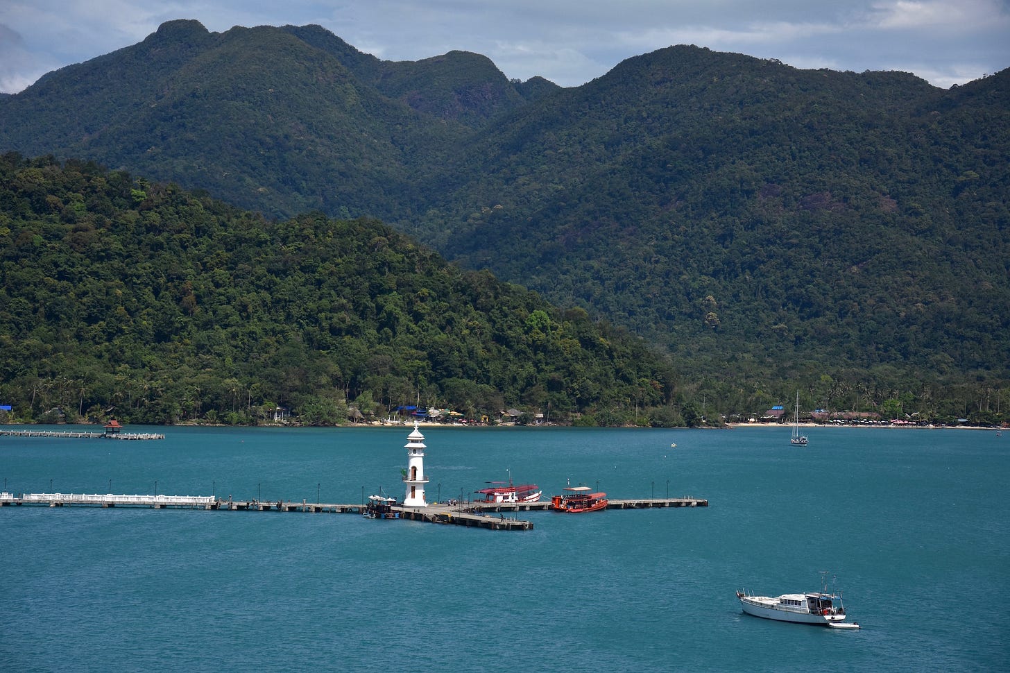
Ko Chang’s satellite isles
Ko Yuak + Ko Phli: Islet and speck | 2 km off Hat Kai Bae (W Ko Chang) | Accessible by group tour | Good beach; Small cliffs | Uninhabited; Day visits only | No facilities | Snorkeling
Ko Suwan + Ko Rom: Alt. sp.: 'Suan' | Islet + speck | 1.5 km off S end of Hat Khlong Phrao (W Ko Chang) | Small beach; Small cliffs | Uninhabited; Day visits only | No facilities | Snorkeling; Kayaking
Ko Man Nai / Nok: Alt. sp. 'Mun': Pair of islets | 2 km off S end of Hat Kai Bae (W Ko Chang) | Good small beach on Nai | Day visits only; Privately owned but open | No facilities | Kayaking
Ko Chang Noi + Ko Mapring (1/2): Islet + speck | Directly off either end of Ao Khlong Son (NW Ko Chang) | Rocky; Tiny beach on Chang Noi | Uninhabited | Kayaking
Ko Lim + Ko Salak: Islet + speck | 3 km off Ban Salak Khok (SE Ko Chang) | No beaches | Uninhabited
Ko Krabung + Ko Lom: Islet + speck | Slightly E of Ko Ngam (far SE Ko Chang) | No beaches | Uninhabited
Ko Ngam: Small island + Speck | 1 km S of Long Beach and half km S of Hat Yuthanavy Memorial (far SE Ko Chang) | Small pier | NP controlled | Great small beach; Isthmus beach; Interior forest | NP station; Toilets; No other facilities | Snorkeling; Kayaking
Ko Lao Ya Nai / Nok / Klang: Small island and islets | 3.5 km SW of Long Beach (SE Ko Chang) | Small piers; Accessible by group tour; Primarily day visits | Great beaches | Lodgings (1) | Footbridge | Snorkeling; Kayaking
Ko Phrao Nok (Sai Khao) / Nai + Ko Mapring: Small island / islet + speck | Less than 1 km from shore within Ao Salak Phet (SE Ko Chang) | Accessible by group tour; Primarily day visits | Great beach on Nok; Forested interior | Minimally inhabited | No roads; Foot trails | Lodgings (1 on Nok) | Kayaking
Ko Chang belt
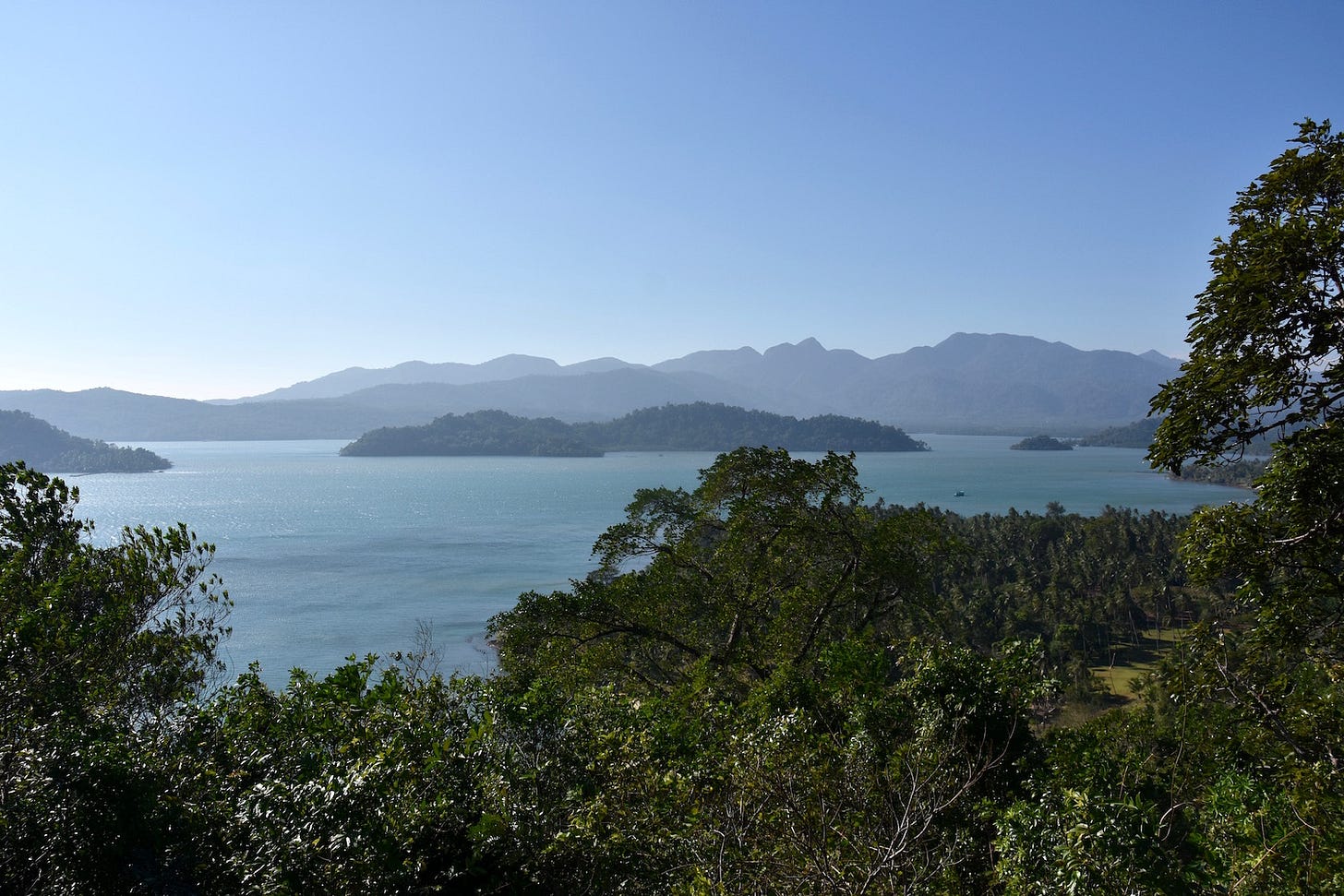
This string of 4 small islands, 4 islets and at least 3 specks collectively spans roughly 18 km from W to E in the "belt" area of Mu Ko Chang, about 6-12 km S of Ko Chang & 8-12 km N of Ko Mak. With the exception of Ko Wai, all islands in "the Belt" are primarily accessed by private boat
Ko Wai: Small island | 6 km S of Ko Chang | Accessible by dry season island-hopping ferries from Ko Chang, Ko Mak, and Ko Kut; Beach landings only; Primarily day visits | Great beaches; Coves; Small reefs; Rolling forest; Rocky | Low-level tourism (S coast); Remote areas (Sunset Bay; E coast) | No roads; Foot trails | Limited electricity; Small bungalow resorts (5); Resort food only; No ATM | Family-friendly; No nightlife | Snorkeling; Kayaking; Hiking
Ko Bai Daeng: Islet | 3 km E of Ko Wai | Great beach; Forested | NP station; Toilets; Camping
Ko Khlum: Small island | 7 km S Ko Chang & 5 km west of Ko Wai | | Short good beach (NE only); Mountainous forest; Rocky | Undeveloped; Fishing shacks; No facilities
Ko Mai Si Yai / Lek: Small islands | 4-6 km off SW Ko Chang | No beaches; Coves; Mountainous (Yai); Rolling forest (Lek); Cave on Lek) | Minimally inhabited (fishing shacks); No facilities | Kayaking
Ko Chan Yai / Noi: Islet & speck | 1 km off S Ko Mai See Yai | Beach on Yai; Forested; Rocky | No facilities
Ko Falami Nuea / Tai + Ko Mor Nai / Nok: Islets + specks | 1 km off N Ko Mai Si Yai | No beaches | Uninhabited | No facilities
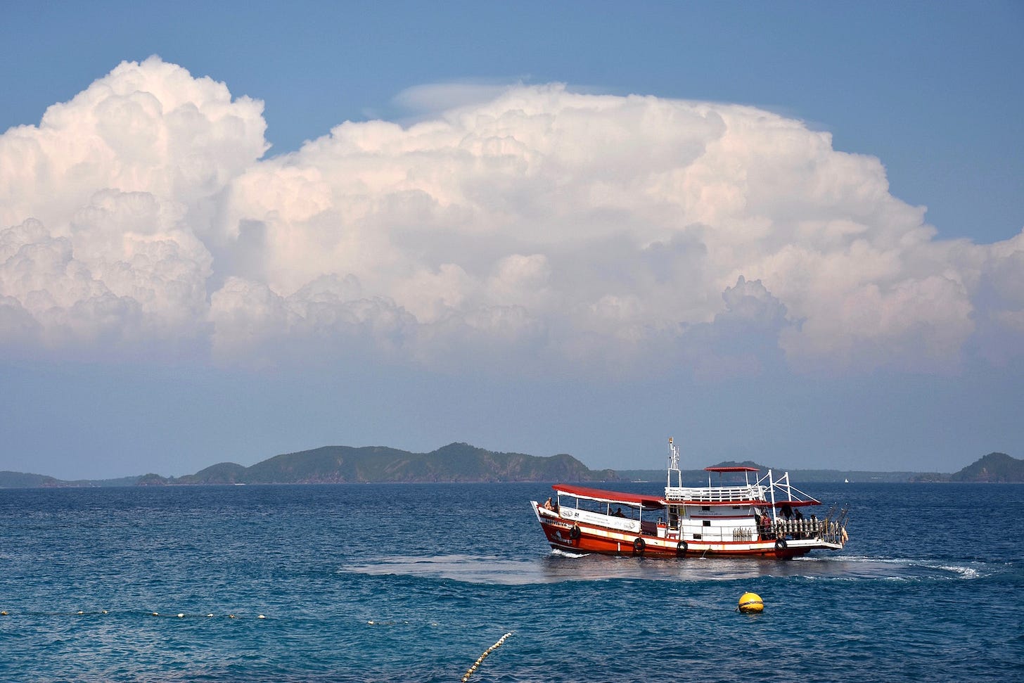
Ko Rang group
Ko Rang and its collection of islets include some of the most dazzling spots found anywhere in Mu Ko Chang. The NP of the same name oversees the entirety of this group, which draws a fair number of day visitors but very few who camp out at park headquarters.
Ko Rang: Small island; long and slender | 7 km W of Ko Mak | Primarily day visits; Beach landings only | Good to brilliant beaches; Extensive reefs; Mountainous jungle | Sparsely developed | NP HQ; Toilets; NP restaurant & lodgings (?); Camping | Shrine (Hat San Chao) | Dive sites; Snorkeling directly off beach; Kayaking
Ko Tun: Islet | 150 m off SE Ko Rang | No beaches; Rocky | Uninhabited
Ko Yak Yai (Laun) / Lek / Ko Mapring (1/3) / Hin Kuak Ma: Specks | 50-300 m off SE Ko Rang | Rocky | Diving; Snorkeling
Ko Thian East / Ko Kra / Ko Thong Lang / Ko Mapring (2/3): Specks | 1-2 km off NE Ko Rang | Rocky | Diving; Snorkeling
Ko Klang / Ko Thian West / Ko Mapring (3/3): Islets | 100-300 m off NW Ko Rang | Rocky | Diving; Snorkeling
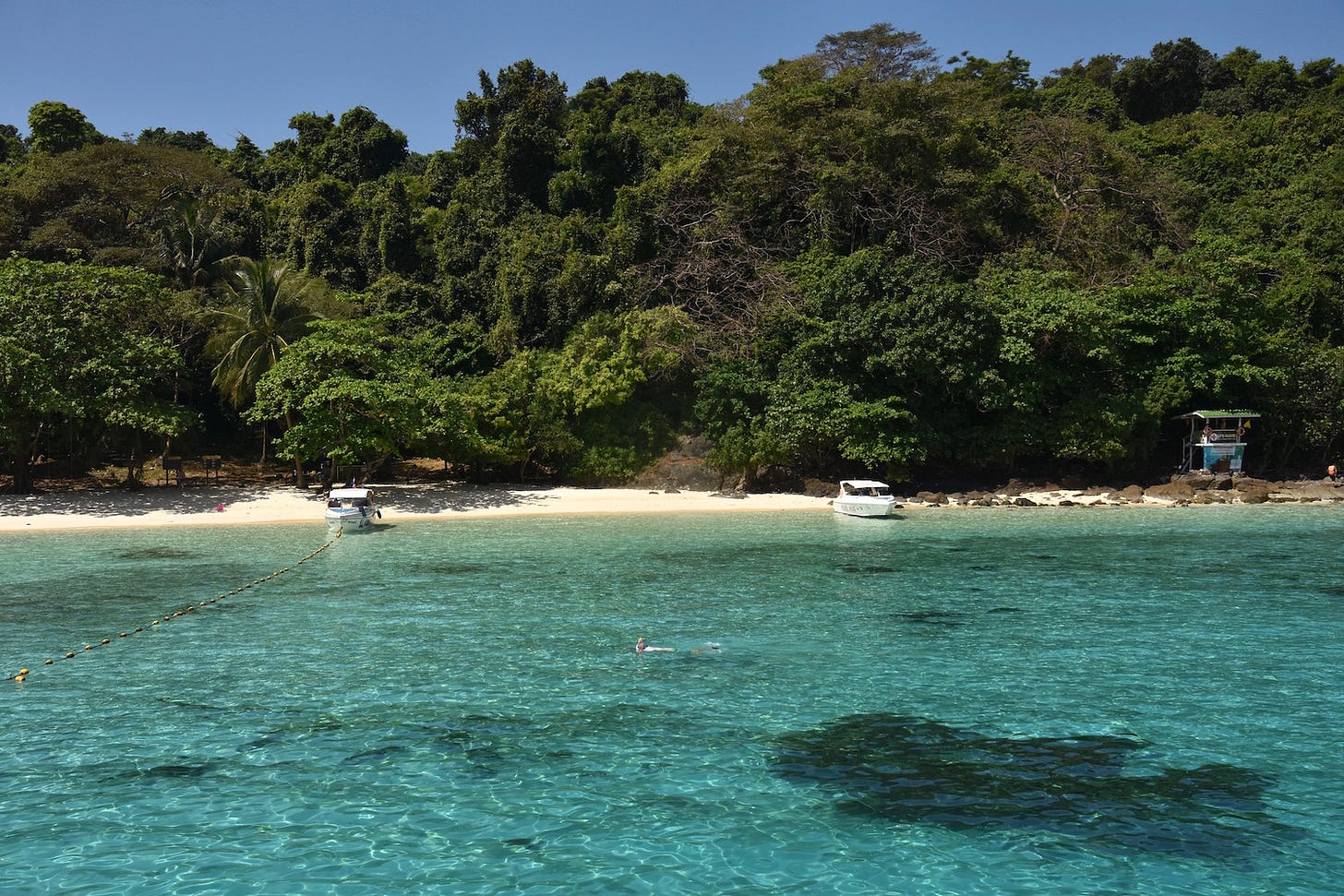
Ko Mak group
Filling out an agreeable central portion of Mu Ko Chang, Ko Mak itself and all of its satellite isles are of interest for something or other.
Ko Mak
Map shape: Star
Size & status: Mid-size island (12 sq. km); Part of A. Ko Kut
Location: 10 km N of Ko Kut & 20 km S of Ko Chang
Accessibility: By year-round passenger ferry from Laem Ngop & Laem Sok; By dry-season passenger ferry from Ko Chang, Ko Kut, & Ko Wai
Transport: Small ferry piers (Ao Suan Yai; Ao Kao); Songthaew; Vehicle rental (boat, bicycle, motorbike); Narrow lanes
Topography: Fair to great beaches; Red-sand beach (Laem Son); Scenic bays (Ao Noi); Small reefs; Flat and rolling terrain; Minimal forest; Pastoral in places; Agriculture (rubber, cashew, pineapple)
Inhabitation: Mid-level tourism (Ao Suan Yai; Ao Kao; Inland); Secluded areas (Ao Tukkata; Ao Phra; Ao Lom; Laem Son); Fishing villages (Ao Tan; Ao Noi)
Warning: Sand flies on beaches at times
Facilities: Lodgings (30+); Small bungalow resorts; A few travel agencies & tour companies; Independent restaurants & shops; Low-key bars; ATM
Vibe: Close-knit; Low-key; Alternative; Family-friendly; Quiet
Activities: Small dive base; Kayaking & SUP; Wind- & kite-surfing; Cycling; Muay Thai training; Cooking school; Frisbee golf; Volunteering (Trash Hero)
Look for: The Kingdom of Somchai's Affection (statuary)
Ko Mak’s satellite isles
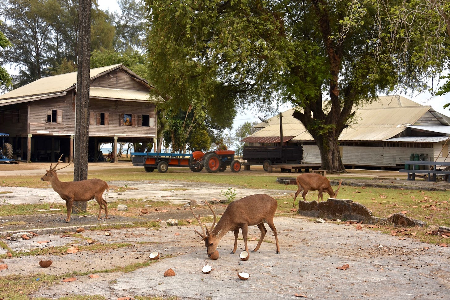
Ko Kradat: Small island | 1 km off NE Ko Mak | Accessible by private boat from Laem Son; Small pier | Fair beaches; Flat; Agriculture (Coconut); Vegetation | Minimally inhabited (farmhouse) | Dirt tracks | Minimal facilities; Toilets; Wildlife interest (wild deer); Kayaking
Ko Nok Nai / Nok: Specks | Directly off N & NE Ko Kradat | Sandbar; Rocky
Ko Kham: Islet | 1-2 km off N Ko Mak | Accessible by public boat from Ao Suan Yai | Day visits only; Beach landings only | Great beach; Forested | Inhabited; Privately owned but open; Decaying structures (?) | Minimal facilities; Toilets | Kayaking; Snorkeling
Ko Phi: Speck | 500 m off Ao Lom | Rocky | Snorkeling; Kayaking
Ko Rayang Nok / Nai: Islets | 500 m - 1 km off Laem Tukkata | Primarily day visits | Good beach on Nok; Rocky; Forested | Minimally inhabited | Lodgings (1 on Nok); Resort food only; Minimal facilities | Kayaking
Ko Kut group
This group is mainly composed of Ko Kut itself, which people often forget is one of the eight largest islands in Thailand. You will also find a pair of satellite isles worth passing on a kayaking expedition.
Ko Kut (Kood)
Size & status: 6th largest island in Thailand at 105 square km; 2nd largest island in Thai Eastern Gulf & Mu Ko Chang; Part of A. Ko Kut
Location: Entire southern quarter of Mu Ko Chang; Easternmost island in Thailand
Accessibility: Year-round passenger ferries from Laem Sok; Dry-season passenger ferries from Ko Chang, Ko Wai, and Ko Mak
Transport: Ferry pier (Ao Salad); Songthaews used primarily as taxis; Vehicle rental (boat, jeep, motorbike); Narrow and steep roads in places
Topography: Good to brilliant beaches; Snorkeling directly off the island in places; Scenic bays (Ao Yai); Hidden coves; Good waterfalls (Khlong Chao; Khlong Yai Ki; Huang Nam Kaew); Extensive mangrove forest; Extensive mountainous jungle
Inhabitation: Mid-level tourism areas (Hat Khlong Chao; Ao Bang Bao; Ao Taphao; Ao Khlong Mat); Secluded areas (Ao Khlong Yai Ki; Ao Noi; Hat Sai Daeng; Ao Khlong Yai Ki; Ao Takian; Ao Khlong Hin; Ao Jak; Ao Khlong Phrao) Fishing villages (Ao Yai, Ao Salat, Ao Khlong Mat); Remote areas (E coast)
Facilities: Lodgings (70+); Small bungalow resorts (Khlong Chao); A few travel agencies and tour companies; Independent restaurants & shops; Quiet bars; ATM
Vibe: Family-friendly; Low-key; Honeymooning; Busy on Thai holidays; Some package tourists; Notably popular with Russians; Minimal nightlife
Activities: Small dive base; Snorkeling directly off some coast (Ao Ngam Kho; Ko Raet); Kayaking & SUP; Hiking (Giant trees)
Ko Kut’s satellite isles
Ko Raet: Islet | 200 km off Ao Khlong Rahan in NW Ko Kut | No beaches; Artifical reef; Forested | Minimally inhabited; Fishing shacks | No facilities | Diving; Snorkeling; Kayaking
Ko Mai Si: Small island | 1 km off NW Ko Kut | No beaches; Rocky | Minimally inhabited | Private air strip | No other facilities
Other Mu Ko Chang coverage from TIQ:
Overview of Trat and Mu Ko Chang
Ko Chang: Hiking the unfinished road to Hat Wai Shak
Ko Kradat: Where the deer roam free
Other resources on Mu Ko Chang:
iamkohchang.com
koh-chang-guide.com
explorekohchang.com
travelfish.org/trip_planner/thailand-jungle-islands
thai-scuba.com/wp/project/ko_chang
yachtcharterthailand.com/assets/pdf/kohchang.pdf
southeastasiapilot.com/local-area/koh-chang-archipelago
thainationalparks.com/mu-ko-chang-national-park
facebook.com/KoChang.DNP
kohmakguide.com
kohmak.com
koh-mak.com
https://www.nytimes.com/2015/02/22/travel/old-thailand-found-on-sleepy-islands.html
theguardian.com/travel/2018/jan/17/koh-chang-koh-kood-island-hopping-thailand-quiet-beaches
Emergency contacts in Mu Ko Chang:
Mu Ko Chang Marine National Park: 039 510 928 / kochang.dnp@gmail.com
Ko Chang Rescue: 039 531 555 / 039 615 292 / 088 525 1100 / 039 613 908
Ko Chang Hospital: Dan Mai / 039 586 131
Ko Chang International Clinic: Hat Khaimook / 039 551 554
Ko Chang Police: Dan Mai / 039 586 191 / 039 586 120
Ko Chang Tourist Police: Khlong Phrao / 039 557 382 / 1155
Ko Mak Rescue: 087 136 8085
Ko Mak International Clinic: 092 272 8000
Ko Kut Rescue: 081 762 4360
Ko Kut Hospital: Ao Taphao / 089 603 8685
Ko Kut Police: Ao Taphao / 039 525 745 / 039 525 191
…Exiting Mu Ko Chang
To view all previously published parts of the Thai Island & Coastal Directory and many other in-depth articles on Thai islands and archipelagos, see the welcome page.
Upgrade for only $5 USD per month to access the entire Thai Island & Coastal Directory as it’s being released, and more, from Thai Island Quest.
Thank you for reading Thai Island Quest (formerly Thai Island Times), an independent, reader-supported e-newsletter sharing the beauty, challenges and distinctive identities of Thailand’s islands and shorelines. Yes, all of them.
Copyright, David Luekens: All Rights Reserved



wow, David, thoroughly and exhaustively researched, i can see already that this Directory WILL become THE quintessential guide to Thailand's islands!!! i've said it before and i'll say it again, i will visit Koh Chang when i return to the Kingdom in a few years (gotta do the money thing right though!!!)...
and then there's THIS: Ko Kradat. Deer and Coconuts. What’s not to like? (still smiling at that one!)