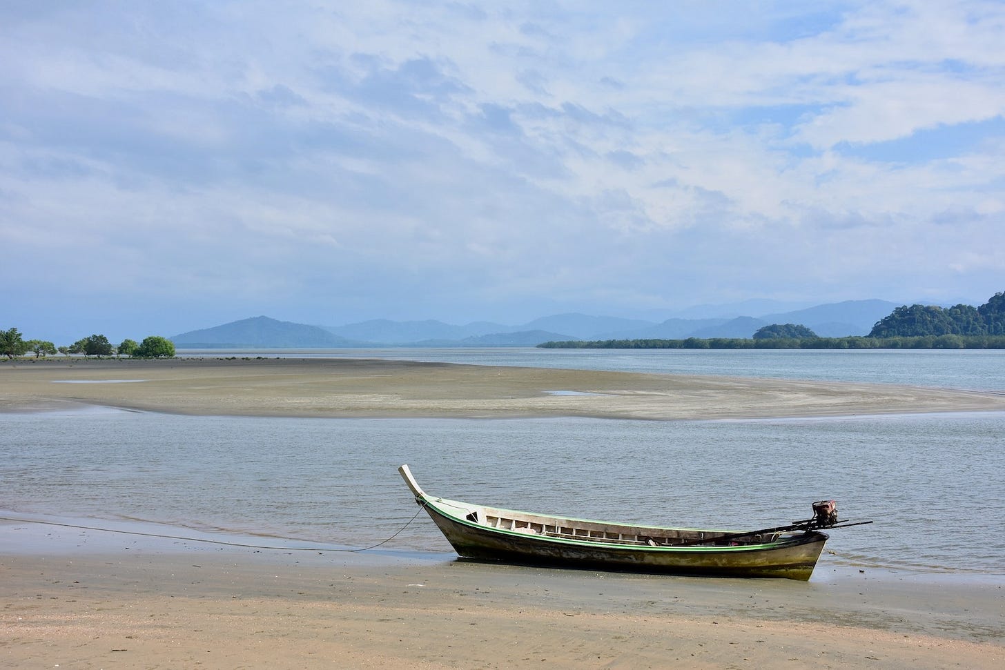
T.I.C.D.: Ranong coast & offshore islands
The entire coast of Ranong province in Thailand's Northern Andaman, condensed.
Welcome back to the Thai Island & Coastal Directory, covering 1,000+ islands and 300+ shorelines across all 24 coastal provinces. An upgrade gets you the T.I.C.D. and many other in-depth articles from Thai Island Quest.
T.I.C.D. ticker: So far, we’ve covered 1,107 islands and 338 notable coastal areas in 60 sections of the Thai Island & Coastal Directory.
To view all previously published sections, see the welcome page or the working Table of Contents, or click T.I.C.D. from the homepage menu.
Resuming Ranong province…
Ranong provincial coast, offshore islands and inland reaches
Ranong province, not to be confused with Rayong up in the Eastern Gulf, cuts a lane between Myanmar in the NW and Chumphon province to the N and E while also abutting Phang Nga to the S. Its 90 km of Andaman seacoast joins some rugged N terrain set astride the broad Kraburi River, which serves as both a natural and political border shared by the Tanintharyi region of SE Myanmar.
Most of Ranong’s islands come in the archipelagos of Mu Ko Ranong and Mu Ko Kam, but you will find 43 others, though all but 7 of them are set within the province’s sprawling estuaries rather than off the coast. A handful of sleepy yet attractive beaches also beckon on Ranong’s far S shores. Otherwise, the coast mixes mangroves with rivers, bays and capes that seem to hold all of it together. Eye-pleasing scenery continues up the broad and historical Kraburi River, which eventually narrows into the isolated frontier lands lying N of Kraburi town.
Travelers bound for Ko Phayam and Ko Chang cross paths with many people from Myanmar who work at the sprawling Saphan Pla fishing hub, the area of the provincial capital set directly across Pak Nam Kraburi from Myanmar. From there it is possible for international travelers without a Myanmar visa to catch a boat over to Kawthaung, one of the most Thai-influenced cities in Myanmar, and stay there for up to two weeks before returning. Fewer travelers take this option than in the past, though, due to the civil war in Myanmar that broke out in 2021, as well as Thailand limiting overland tourist “border hops” to only two per calendar year. (If you do hit Kawthaung, also consider a trip into the nearby Mergui Archipelago.)
Mueang Ranong has its share of hotels joining a decent food and drink scene, even if it still feels more like a big town than a city. Its surrounds are known for hot springs and waterfalls, including the 300-m-high Namtok Ngao that is visible from the highway just S of town. Even the capital district is sparsely settled beyond the immediate urban areas; in fact, Ranong is Thailand’s least populated province with less than 200,000 total residents spread over 3,298 sq. km.
Namtok Ngao NP also covers much of the steep mountain range that keeps Ranong feeling like a hidden domain, often cloaked in rain and fog. Further N, viewpoints overlook some Kraburi River islands in Lamnan Kra Buri NP. Less known still are a trio of wildlife sanctuaries: Khlong Na Kha and Khuan Mae Yai Mon preserve Ranong’s S mountains, and Thung Raya Na-Sak hosts some waterfalls up near Kraburi. Ranong also has two protected areas combining coasts and islands: Mu Ko Ranong NP covers parts of the namesake archipelago along with sizable mangrove forests, while Laem Son NP includes coastal mountains and beaches to go with the Ko Piak Nam group in Talay Nai and stunning Mu Ko Kam further off the coast.
Islands & coastal areas below are arranged roughly from N to S.
Pak Nam Kraburi & Mueang Ranong district coast
The Kraburi River ends at one of Thailand’s widest estuaries, spanning 5 km at its mouth and maintaining this width for some 35 km upstream. Back in the Srivijaya era and likely starting well before then, a trade route combining this river with a portage trail over the Kra Isthmus ushered goods between the Andaman (and India) and the Gulf (and on to China). This gives the river some historical mystique that is amplified by the remains of tunnels and other artifacts left behind by the Japanese forces that dug into the area during World War II.


