T.I.C.D.: Surat Thani coast & offshore islands
The shores of Southern Thailand's largest province, condensed.
Welcome back to the Thai Island & Coastal Directory, a book-in-progress that promises to be the most complete guide to coastal Thailand ever written in English, covering more than 1,000 islands and all 24 coastal provinces. An upgrade gets you the T.I.C.D. and many other in-depth articles from Thai Island Quest.
T.I.C.D. ticker: So far, we’ve covered 929 islands and 272 notable coastal areas in 52 sections of the Thai Island & Coastal Directory.
To view all previously published sections, see the welcome page or the working Table of Contents, or click T.I.C.D. from the homepage menu.
Resuming Surat Thani province…
Surat Thani provincial coast, offshore islands and inland reaches
Despite being the largest province in Southern Thailand and the 6th largest in the country at 12,891 sq. km, Surat Thani’s roughly 110-km coast is actually shorter than those of neighboring Chumphon to the N and Nakhon Si Thammarat in the S. Much of it consists of mangrove forest and oyster farms.
Another 24 obscure islands located near the coast and in the river deltas finishes off the province’s impressive list of 124 islands. Of course, Mu Ko Samui and Mu Ko Ang Thong overshadow the mainland coastal beaches and nearby islands, like Ko Raet and Ko Wat. Among travelers, the ‘Surat’ coast is best known for hosting the ferry piers used to access Ko Samui, Ko Phangan and Ko Tao.
The biggest non-island attraction in the province is Khao Sok NP, but it is much closer to the Andaman Sea than the Gulf and closely linked with places like Takua Pa over in Phang Nga province. (In this book, Khao Sok is covered as part of the forthcoming chapter on the Northern Andaman coastal zone.)
With a picturesque riverfront, markets and travel offices that all remind me a little of Krabi town on the Andaman coast, Mueang Surat Thani or ‘Surat town’ is one of Southern Thailand’s larger cities. Few travelers overnight here, even if it makes a fine base for hitting the Tapi Delta, historical Chaiya and more.
Surat is relatively thin on mainland beaches — the vast majority are in its islands — but Chaiya and Tha Chana districts have some lengthy ones. Don Sak also adds a terrific ‘secret’ beach near the ferry piers and the border with Nakhon Si Thammarat province, where generally better beaches extend southwards.
In Surat, you don’t have to go all the way to Khao Sok to find waterfalls and jungle trails. The obscure Kaeng Krung NP reaches deep into a corner of the Phuket mountain range in NE Surat. Near the town of Khiang Sa, Nong Thung Thong Wildlife Sanctuary protects the rare birds drawn to its swamplands. Down along the N edge of the Nakhon Si Thammarat range in the extreme S of Surat province, the highest peaks of Tai Rom Yen NP reach above 1,500 m. For something more pedestrian, Khao Tha Phet Forest Park is known for birdwatching near the capital.
Islands and coastal areas below are arranged roughly from N to S, then W to E.
Chaiya & Tha Chana district coasts
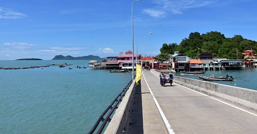
The beaches in these two N coastal districts extend quietly for several miles. The bulk of them are in Tha Chana, where Hat Bang Khang does the trick for a secluded picnic. For a little more action, check out the fishing village of Ban Phum Riang with its wing beach, mangrove walkway and cape in Chaiya district.
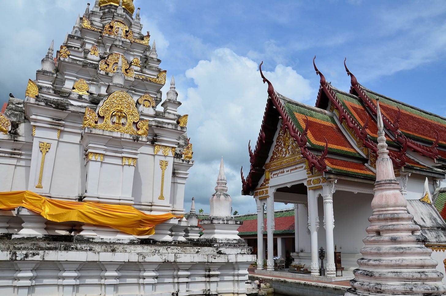
Chaiya also hosts several small but intriguing sites that hail from the Srivijaya maritime kingdom that existed in parts of what are now coastal Thailand, Malaysia and Indonesia from the 7th to 11th centuries. Most of Chaiya’s Srivijaya-era sites are little more than piles of bricks today, but the provincial museum and the ancient chedi at Wat Phra Borommathat Chaiya are well worth a look.
In fact, Surat Thani province was officially known as Chaiya until 1915. Some would say the province’s soul still resides in these parts. The fact that the aforementioned Srivijaya-style chedi adorns the modern provincial seal is telling.

Tha Chana: District | Northernmost district in Surat Thani | Piers; Railway station (Tha Chana); Scenic coastal roads | Fair to good beaches (Samrej; Suan Son; Bang Khang; Bang Loi; Nam Don Leh); Wing beaches (Laem Tha Chana; Laem Khlong Tai); Estuaries; Break walls (at Hat Suan Son); Cave (Thum Yai); Agricultural (coconut); Aquaculture | Low-level tourism; Coastal village (Ban Tha Krachai) | Lodgings (5+); Homestays; Small eateries; Markets (Tha Chana) | Rural; Wats & mosques; Expect little to no English to be spoken | Sightseeing (Wat Thum Yai) | Look for: Oysters
Chaiya: Small town / district | 30 km N of Mueang Surat Thani | Railway station | River estuaries with mangrove forests (Pak Nam Tha Chana & Pak Nam Chaiya); Agricultural (W); Aquaculture (S) | Low-level tourism; Temple town | Lodgings (5+); Small eateries; Markets; Shopping center; Banks & ATMs | Low-key; Few foreign visitors; Historical; Seafood destination | Sightseeing (Wat Phra Borommathat Chaiya; Chaiya National Museum; Wat Rattanaram a.k.a. ‘Wat Kaew’; Wat Wiang; Wat Chayaram); Meditation retreat (Wat Suan Mokkhaphalaram); Historical interest (Srivijaya) | Look for: Salted preserved eggs
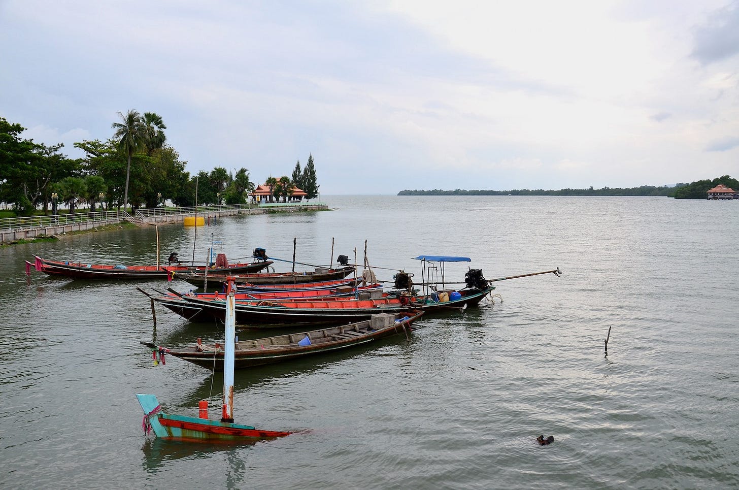
Ban Phum Riang / Laem Pho: Village / 3-km cape; Alt. name: ‘Laem Sai’ (for N part of cape only) | 6-10 km E of Chaiya | Piers; Mangrove walkway | Fair beaches; Wing beach with sandbar; Khlongs | Low-level tourism; Scenic fishing villages | Lodgings (3); Homestays; Seafront eateries | Seafood destination; Community-based tourism; Some day visitors; Expect little to no English to be spoken | Boat trips (to Ko Hua Sert, Khlong Yai & Ao Ban Don) | Look for: Local silk
Ko Hua Sert: Islet | 3 km S of Ban Phum Riang | Accessible by longtail boat from Ban Phum Riang, Laem Pho & Ao Ban Don | Great beach; Sandbar; Vegetation | Uninhabited | Some day visitors | Boat trips
Mueang Surat Thani, Tha Chang & Phun Phin district coasts
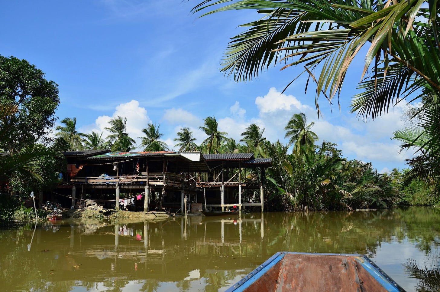
Forming the central hinge of Surat’s L-shaped coastline on a map, this area is a tale of two rivers. The Tapi and the Phun Phin briefly merge in the town of Phun Phin before each splintering into numerous smaller rivers nourishing mangroves and feathered palms amid a delta that spans some 20 km of spongey coastline. Much of the delta is known locally as Khlong Roi Sai, or ‘Hundred Canals.’
Closely related to the Tapi Delta in many ways, Ban Don Bay was beset by tense disagreement in 2020 when local fishers accused aquaculture farmers backed by “influential figures” of illegally claiming the offshore shallows to grow cockles. A significant aquaculture industry remains, even if much of the bay’s coast is brushed with mangrove forests that can also be explored by boat.
The Tapi Delta extends all the way to the N edge of the provincial capital, enabling photographers to capture unusual scenes of rural Thai river life with urban backdrops. Mueang Surat Thani is more of a base / transport hub than a destination in its own right, but it does boast a pleasant river-island park.


