Samut Prakan: Siamese history near the mouth of the Chao Phraya River
A coastal excursion shows how there is more to the province set directly south of Bangkok than urban streets and industry. (Island Daze #31)
Home to nearly 1.4 million people on barely over 1,000 square km of terrain, Samut Prakan province is unquestionably a limb of metro Bangkok. Most local urbanites know it as a place of crowded streets, polluted canals and sprawling industry. But as with many places that don’t register much of a blip on the mainstream tourism radar, there is plenty of interest if you’re willing to look.
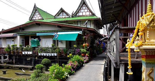
Those who write Samut Prakan off as “the armpit of Bangkok” tend to ignore the rural area west of where the Chao Phraya River flows into the Gulf. Though lacking beaches, this 20-km coast has a pair of historic forts to go with a village set on stilts and a temple surrounded by sea. Along with Bang Khun Thian a little further west, this part of Samut Prakan makes for a fun break from the city.
Exploring this stretch of Samut Prakan’s coastline without a boat became much easier when a new road opened in 2020 to follow the path of the Sapphasamit Canal. Dug in the late 19th century to link the Chao Phraya and Tha Jeen rivers for trading ships, the Sapphasamit now appears as a sleepy river feeding narrow canals that branch down to the coast like the bristles of a comb.


