Ask any Thailand travel enthusiast which is the prettiest island in Rayong province and the answer will most likely be Ko Samet. While this popular mid-size island has a lot going for it, few travelers are aware of the islands found six to 12 km further east. Primarily accessed on day trips, isolated Ko Thalu and the petite Ko Kudi group deliver soft khaki sand, crystalline water, viewpoints and more.
The three small islands, two islets and seven specks set five to 10 km south of Ao Sai Yai on the mainland are all part of Khao Laem Ya - Mu Ko Samet National Park, hence the inclusion of the word mu or ‘archipelago’ in that name. Some island nerds consider all of these to comprise a single “Samet archipelago.” I see them as three related yet distinct areas: Ko Samet itself, Ko Thalu, and the Ko Kudi group which includes Ko Platin and the islets of Ko Kruai and Ko Kham in between.
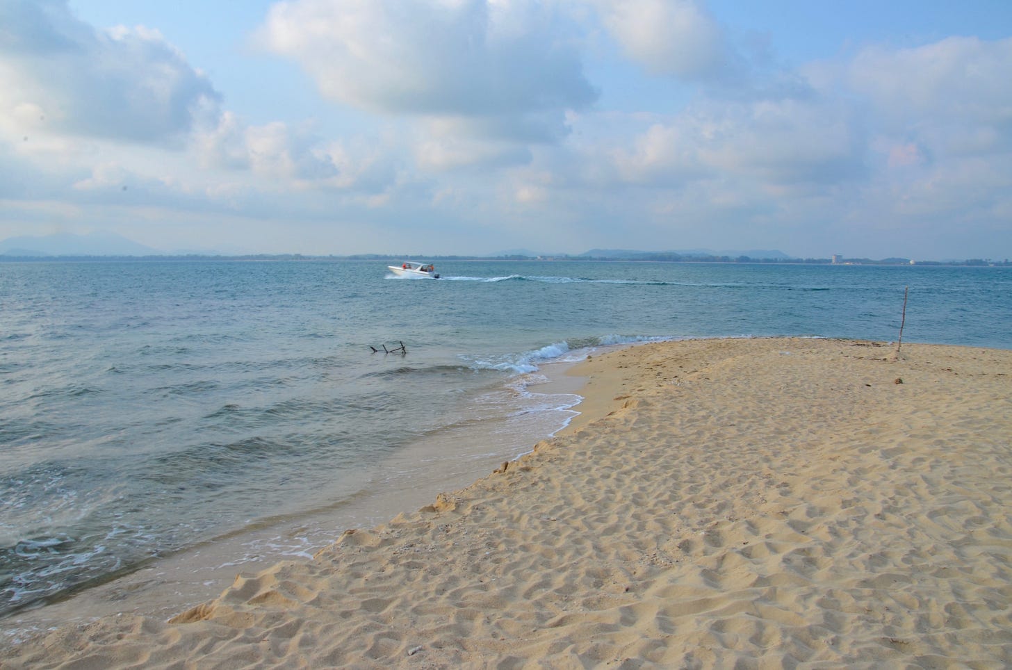
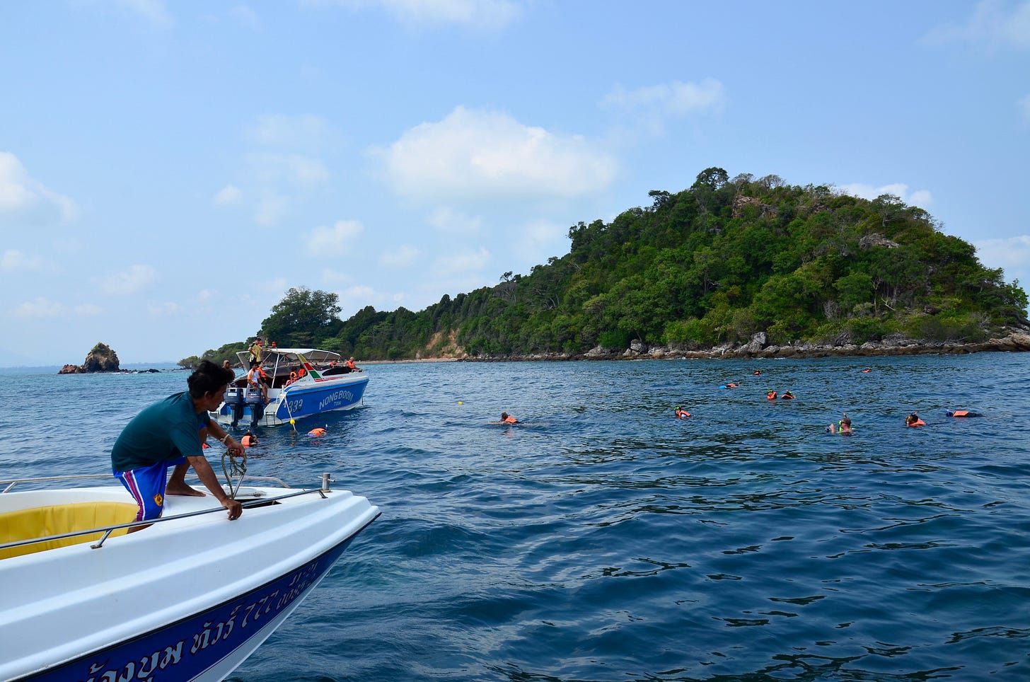
Most visitors hit these islands by tour boat from Ko Samet, which I did a few years ago while updating the Travelfish Ko Samet guide. Tours to Ko Thalu and the Ko Kudi group can also be arranged on the mainland in Ao Sai Yai, Laem Mae Phim and Ban Phe, but Thai travelers are the focus of mainland tour outfits. Another fun tour option out of Laem Mae Phim is the Ko Man trio of islands, situated 18 km east of Ko Thalu. I plan to cover Ko Man sometime down the road.
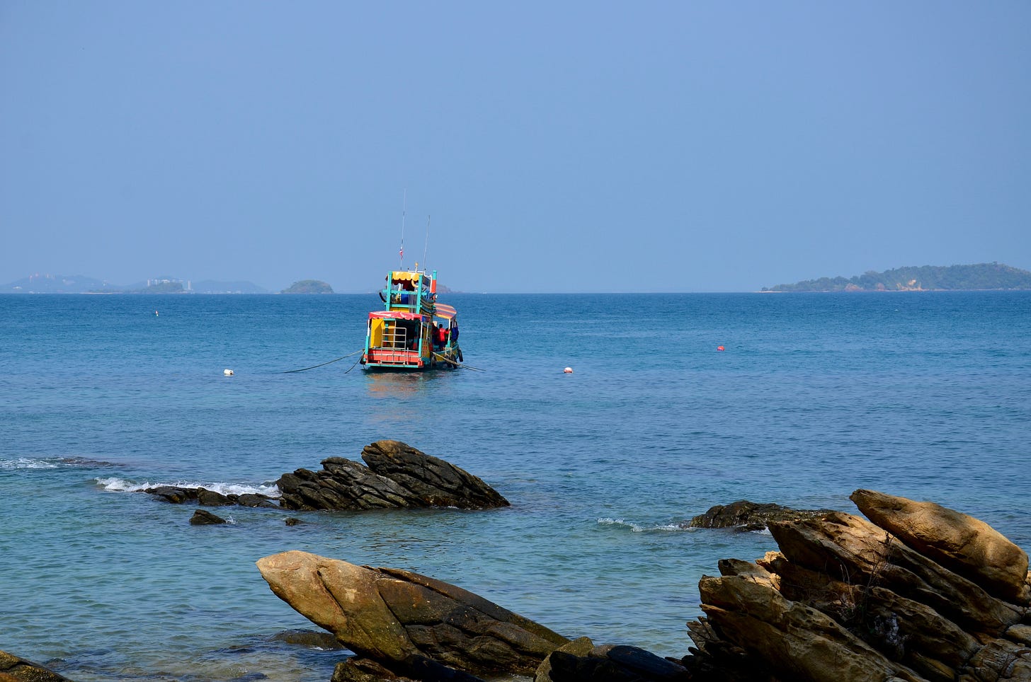
When combined with Ko Samet to go with the scenic Khao Laem Ya cape and a host of mainland beaches, these lesser-known islands give you plenty of scope for island and beach hopping in Rayong province. Read on to find out why tacking at least one extra day onto a trip to Ko Samet might be the right idea.
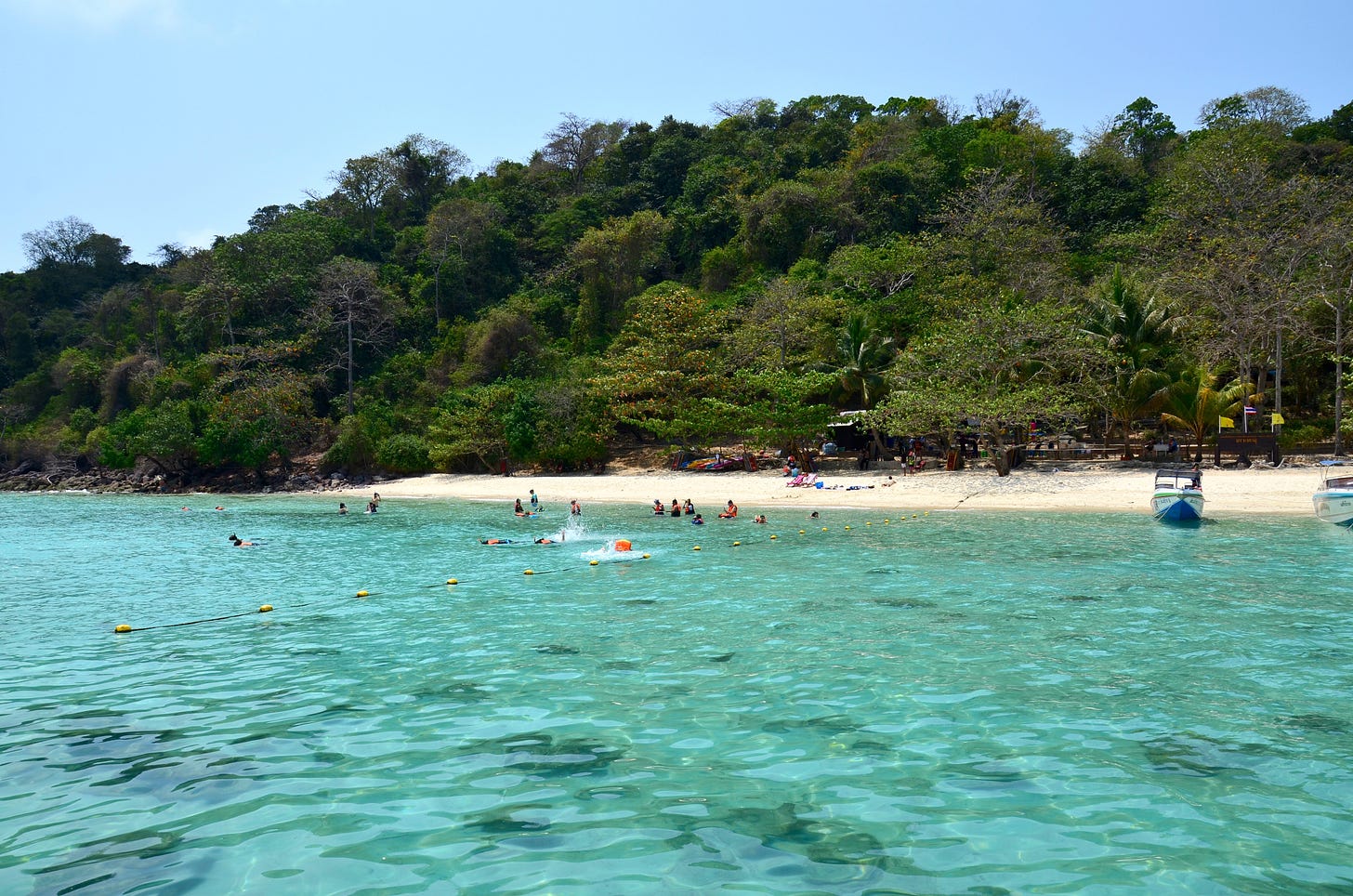
Ko Thalu
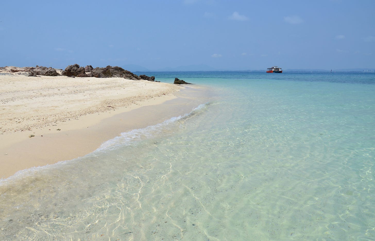
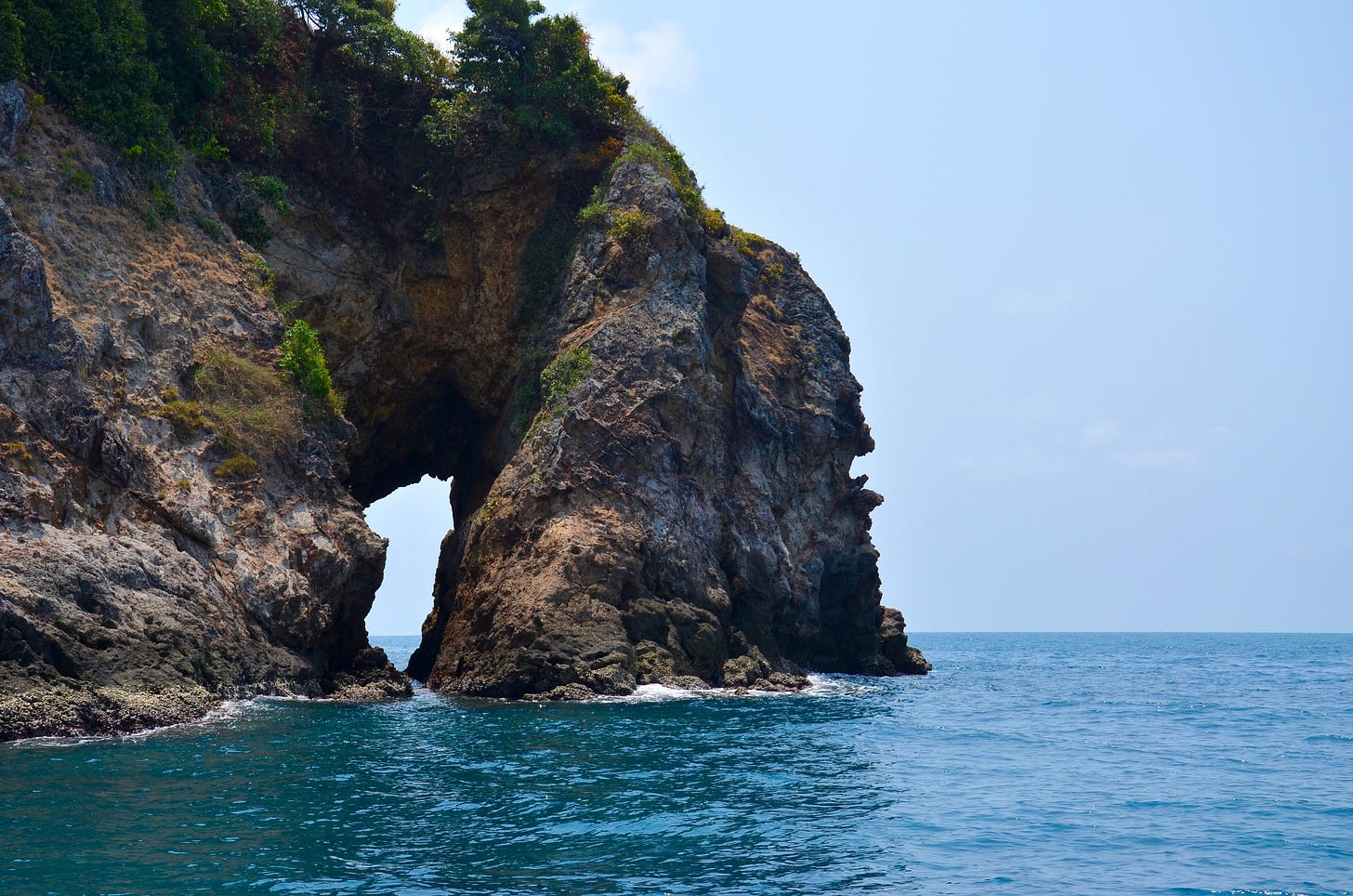
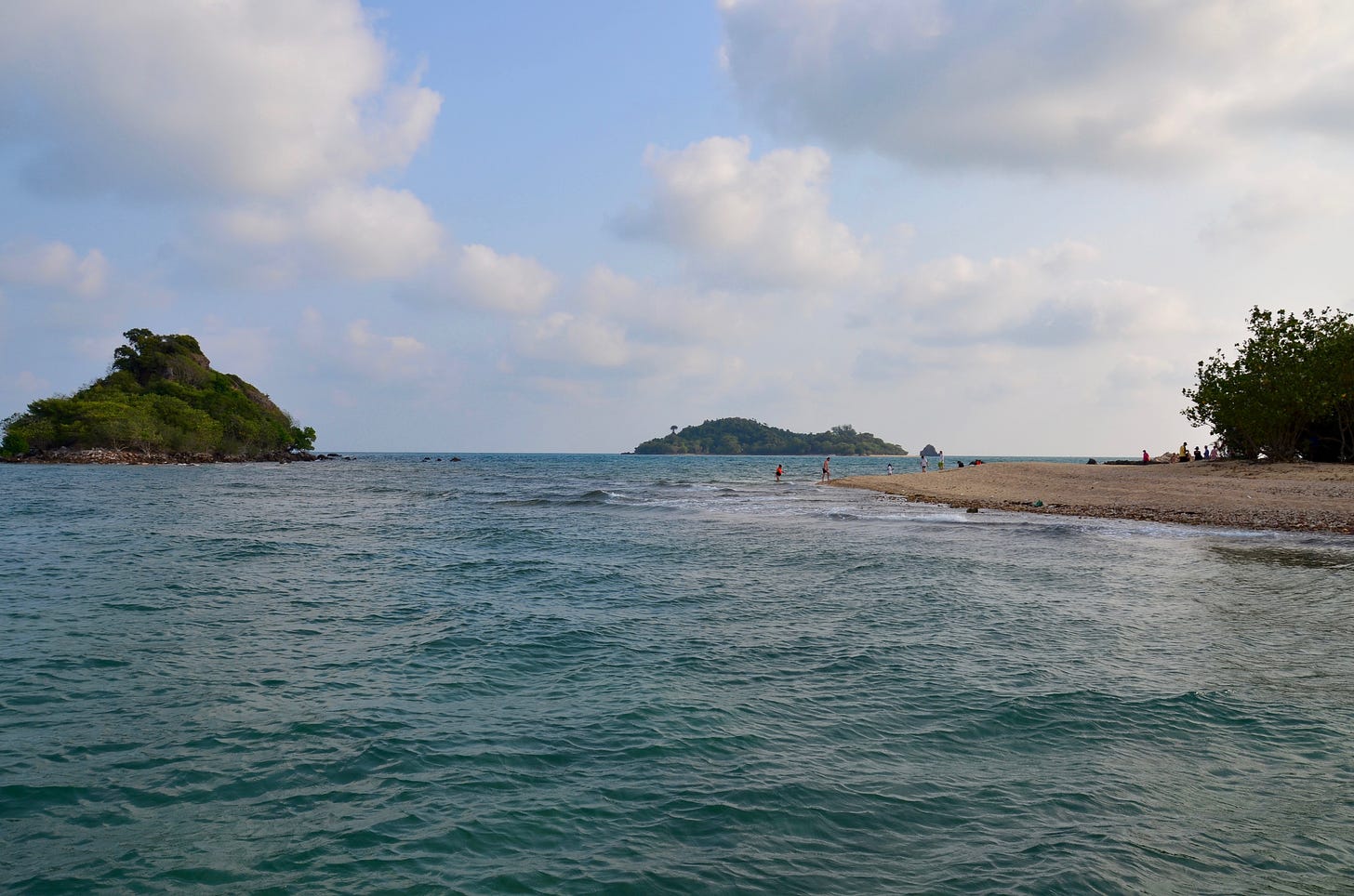
One of several islands with a Thai name meaning ‘Pierced Island’ after natural arches with centers like donut holes that have been hollowed or “pierced” by the sea, Rayong province’s Ko Thalu (or Talu) sits isolated alongside Ko Yung Klua (‘Salt Hut Island’) and two other rocky specks to the south. Vaguely shaped like the profile of a human face with a nose-like protrusion to the east, Ko Thalu is only 300 meters wide and 600 meters long from north to south. While the entire west coast is rocky, a luscious pair of light khaki-sand beaches extend near a lengthy reef off the east coast.
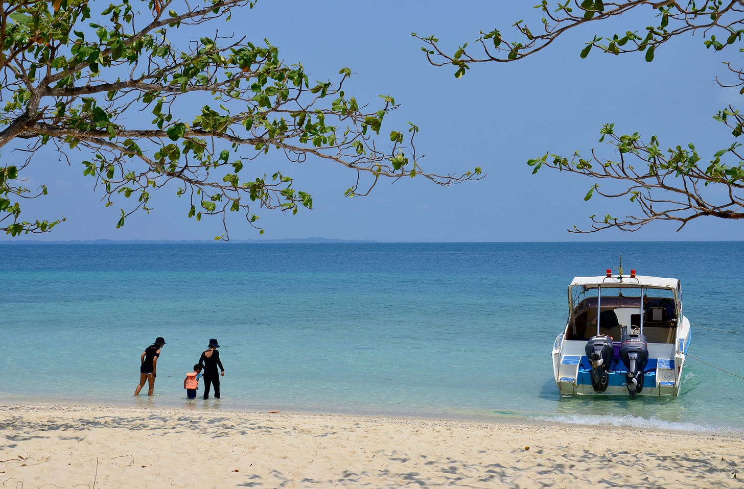
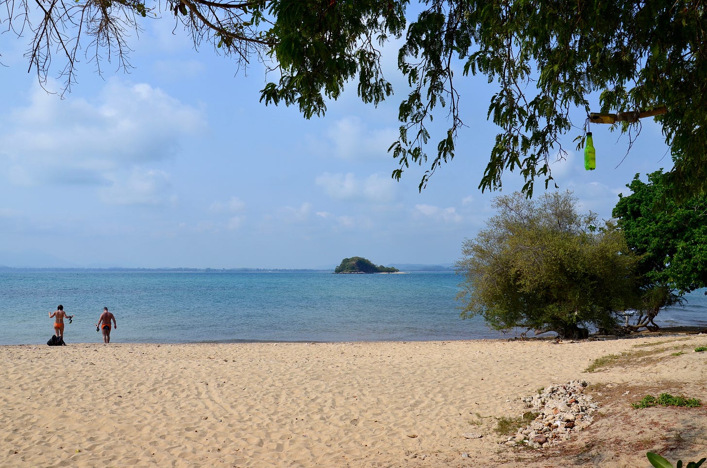
Ko Thalu’s beaches join the aquamarine water to dazzle visitors when the weather is turned on. Low-hanging umbrella trees shade much of the sand, framing the northerly views of distant hotels in Lae Mae Phim, located 18 km away. The coral looked banged up last time I was there, but I did spot some fish and more recent surveys revealed that the half-km-long reef has since improved to a moderate condition.
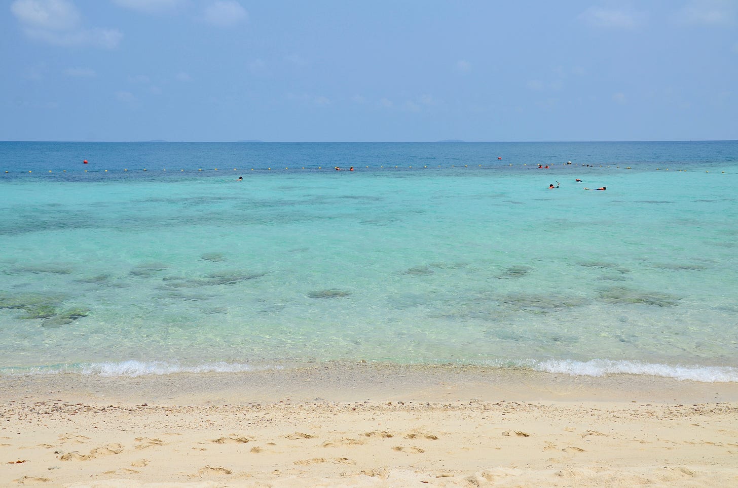
Ko Thalu is one of the only islands in Rayong province where sea turtles occasionally nest. Blanketed in low-lying forest, the mostly untouched interior is home to a type of pteropus or flying fox, a species of large fruit-eating bat. I’ve never met one. There are no roads or human inhabitation apart from a tiny national park outpost, and no one overnights on Ko Thalu save the occasional ranger or researcher.
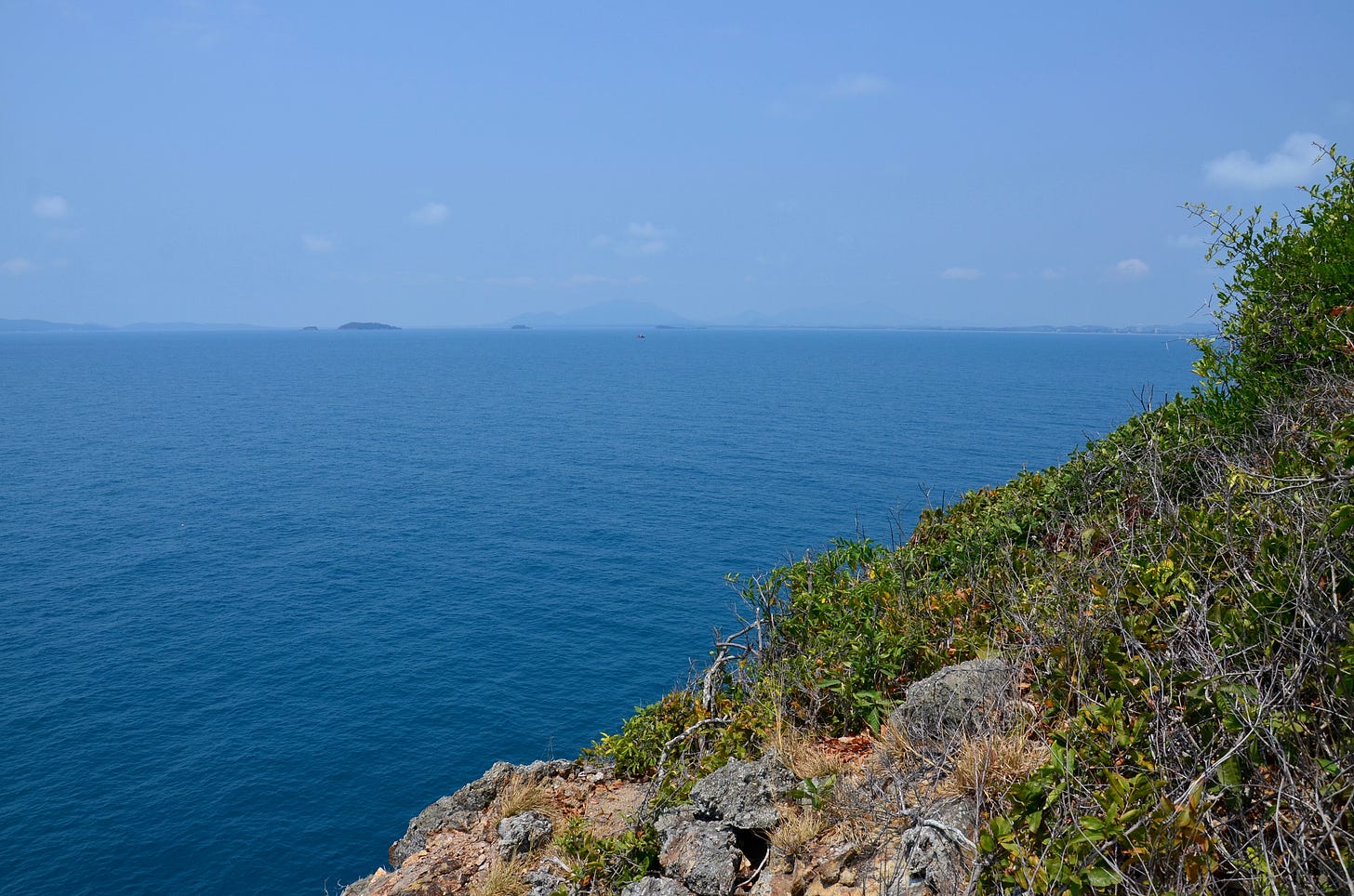
It takes about 10 minutes to follow a trail from Ko Thalu’s southeastern beach to the west coast, depending on how quickly you can pull yourself up some ropes tied to one fairly steep section. The reward is a southwestern vista covering a faint Ko Samet and the Ko Kudi group. Part of a rugged west coast with vertical grades in places, the viewpoint places you around 30 meters above the sea.
Along the northwest tip of Ko Thalu stands the island’s namesake stone arch, where several square meters of open space is topped by a thick arm of stone stretching to a cliff. It’s a mainstay stop on the island-hopping day tours.
The Ko Kudi group
Ko Kudi (or Kudee) is the largest in a cluster of islands set closer to the mainland and about halfway between Ko Thalu and Ko Samet. My guess is that monks sought seclusion for meditation here in the past, hence the name signifying the spartan huts that serve as residents for monastics in Thai Buddhist temples. Arrowhead shaped to the south, Ko Kudi is only slightly smaller than Ko Thalu.
Ko Kudi is the only island between Ko Samet and the Ko Man trio that’s equipped with overnight facilities, including a park-run Thai restaurant, a campground (tent rental is available) and five large cabins perched above the pebble-strewn northeast coast with an outlook towards Laem Mae Phim. All of these fan-cooled cabins cost 1,500 baht per night, with enough space for a family of four.
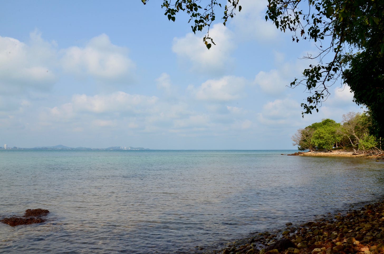
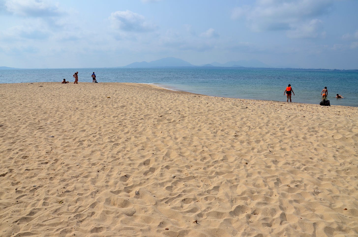
While most of Ko Kudi’s shores are rocky, a diminutive beach carpets a secluded western cove and a 30-meter-wide expanse of soft khaki sand reaches out like a thumb near park facilities in the north. This is where boats arrive. The scenery does not wow visitors like Ko Thalu’s east coast, but still, Ko Kudi’s main beach is an attractive spot with no shortage of space for sprawling out on a blanket.
The park staff, while friendly enough, seemed surprised when a foreigner like me asked about camping or settling into one of the cabins. They said that most of the overnight guests, and there aren’t many, come as part of organized groups from the mainland — think school field trips and extended family outings. Nonetheless, Ko Kudi would most likely be a quiet and soothing spot to lose a night if you visit by private boat or arrange for a tour company to fetch you.
Headed behind the national park station, a 300-meter trail cuts south to the aforementioned cove before ascending into the forested interior and ending at a viewpoint near the south coast. Set about 20 meters above shore, this spot overlooks the nearby speck known as Ko Khang Khao (‘Bat Island’) to the south while also affording a vista of Ko Samet’s serpentine figure.
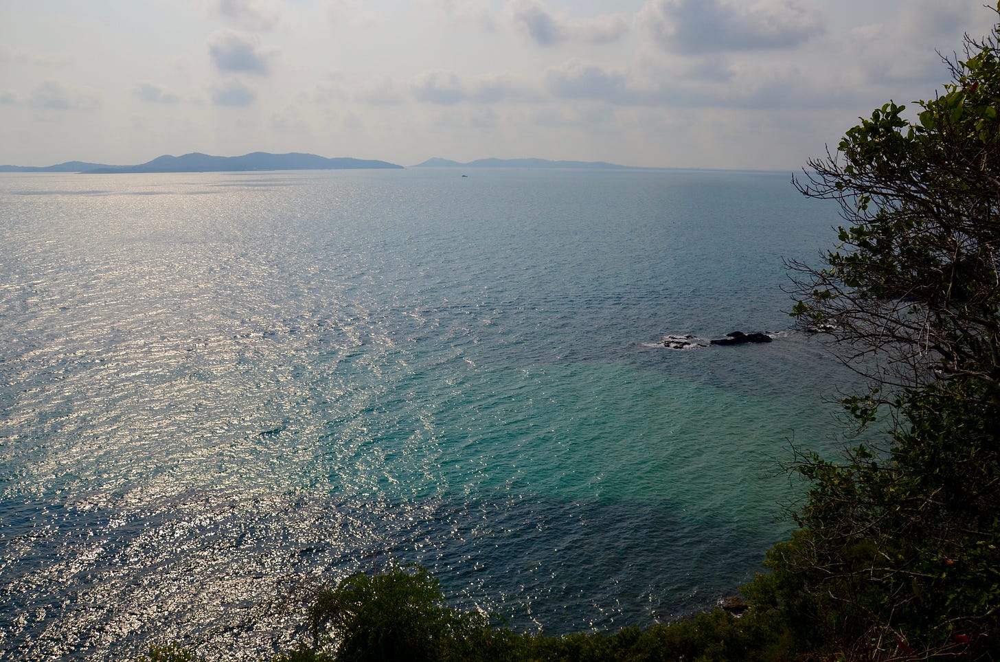
One km north of Ko Kudi, two uninhabited islets stand side by side with coral sprinkled around and in between them. Though only rocky shores rim Ko Kruai, Ko Kham has a lovely wing of sand that’s wide enough for a football match. Shaded by a venerable tamarind tree, the beach covers the northeast coast and brings parts of Ao Sai Yai and other mainland points more clearly into view.
Also in Ko Kham’s southerly outlook is Ko Platin (or Plateen), a half-km-long island with a body so slender that it thins to only 15 meters at one point. Its shape explains its name — platin is the Thai word for the amphibious mudskipper fish found in mangrove forests. Uninhabited and with no facilities like the rest of the group apart from Ko Kudi, a 20-meter-wide beach tops Ko Platin’s northern tip.
A reef occupies the shallow water found west of Ko Platin and further south to the speck of rock known as Ko Klet Chalam, or ‘Shark Scale Island.’ The visibility didn’t come close to matching the water off Ko Thalu, which is also a destination for the few dive boats based on Ko Samet. The Ko Kudi group is more conducive to beach lazing, hiking and hopping from one wee island to the next. 🌴
Click for a map pinpointing the places mentioned in this article.
Note that Ko Thalu and the Ko Kudi group are closed to tourism from June through September, at least in 2021.


Have a house at Mae Rheamphung. Really love the area, especially on Bike. You can ride from Trat to Pattaya on overnight Sojourns. I prefer Mae Rheamphung than going over to Ko Samet due to the extra costs over there, when the beach of Mae Rheamphung is just as good.